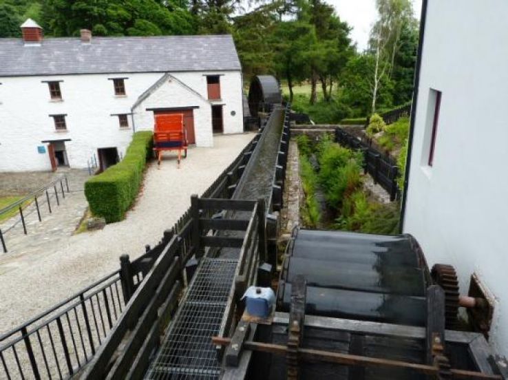
What is recorded here
On the S bank of the Flesk River at the foot of a steep NW-facing slope. Mill complex consisting of two overgrown ruined four-storey buildings (long axis NW-SE) on either side of stone-lined wheel pit (Wth 3.6m; D 3m). The S building is rectangular in plan; its NE elevation is of four bays with stone-arched windows, later extended to the SE by two bays with brick-arched windows. Access to interior was not gained. The N building is L-shaped with the NE elevation of three bays. The remains of machinery platforms and pits are within. A second brick-lined wheel pit is at the NW end of the N building and has a 20th-century turbine casing located on its N side. The overgrown ruins of two conjoined two-storey dwellings lie to the E. Further overgrown remains of structures abut the foot of the steep slope at the S edge of the complex. The millrace indicated on the 1846 and 1939 OS 6-inch maps, diverted from the river by a weir c. 300m to the NE and with a tailrace returning to the river c. 230m to the SW.
Compiled by: Elizabeth Byrne, Ursula Egan and Sheila Ronan, Archaeological Survey Unit, University College, Cork.
Date of upload: 31 January 2011
The monument record does not grant public access. Check the route and ask the landowner before entering private land.
- What survives
- Recorded monument
Places near here
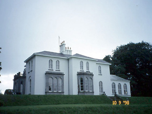 Coolclogher Housecountry house · 238 yd
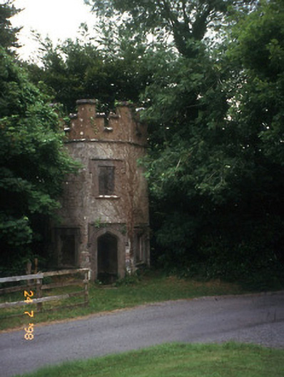 Flesk Castlegate lodge · 406 yd
 IndicatedFairy fort / earthen ringfort · 708 yd
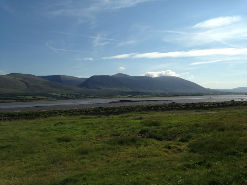 Sundays WellHoly well · 1270 yd
 Sheheree Bog Nature ReserveNature reserve · 1435 yd
 Killarney First World War MemorialMemorial · 1595 yd
 Jaunting ToursHeritage attraction · 1668 yd
 Monsignor Hugh O'Flaherty MemorialMemorial · 1.1 mi
 McCarthy Mor CastleCastle · 1.1 mi
 The WildernessForest · 1.2 mi
 Lissivigeen Stone CircleHeritage attraction · 1.2 mi
 Mass RockNamed rock · 1.2 mi
Other information
Photo: Credit not shown in the picture search · Rights wording not checked; contact us if this picture should be removed