What is recorded here
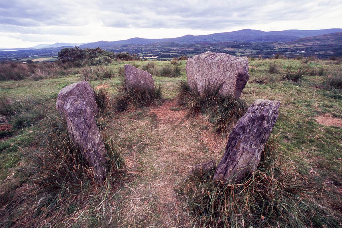
Not shown on 1842 and 1904 OS 6-inch maps. In pasture, on SSW-facing slope. Almost square stone (H 1.2m; 0.55m x 0.42m), leaning slightly to S.
The above description is derived from the published 'Archaeological Inventory of County Cork. Volume 3: Mid Cork' (Dublin: Stationery Office, 1997). In certain instances the entries have been revised and updated in the light of recent research.
Date of upload/revision: 14 January 2009
Likely dating to the Early Christian or medieval period, the name "Gallán" may refer to a saint or holy well associated with the site. Such stones often marked ritual or burial sites, or were later incorporated into local Christian traditions.
The monument record does not grant public access. Check the route and ask the landowner before entering private land.
- What survives
- Recorded monument
Places near here
 Fulachta FiadhFulacht fia · 804 yd
 bridgebridge · 893 yd
 KilnKiln, lime · 925 yd
 BarrowBarrow, ring-barrow · 1080 yd
 Ballyvodane Castle (in Ruins)Castle, unclassified · 1.2 mi
 Ballyanly Inniscarra Slí na SláinteWalking route · 2.8 mi
 Garrycloyne Castle (in Ruins)Castle, tower house · 3.3 mi
 Pairc Ath Na hEornaMemorial · 3.5 mi
 Pakie HoganMemorial · 3.6 mi
 New TipperaryVisitor information · 3.7 mi
 BatsVisitor information · 4.2 mi
 Waterloo Loop WalkWalking route · 4.3 mi