What is recorded here
In deciduous woodland. Shown only on 1939 OS 6-inch map, immediately E of landscape feature (CO073-007001-). Upright stone (H 1.02m; 0.45m x 0.63m), rectangular in plan, long axis SE-NW. Removed c. 1984, subsequent to visit.
The above description is derived from the published 'Archaeological Inventory of County Cork. Volume 3: Mid Cork' (Dublin: Stationery Office, 1997). In certain instances the entries have been revised and updated in the light of recent research.
Date of upload/revision: 14 January 2009
Likely dating to the Early Christian period, the name "Gallán" may reference a saint or holy well, suggesting a site of religious or ritual significance. The stone's removal and lack of further record may reflect later changes in land use or deliberate clearance.
The monument record does not grant public access. Check the route and ask the landowner before entering private land.
- What survives
- Recorded monument
Places near here
 Designed landscape feature in ArdrumDesigned landscape feature · 16 yd
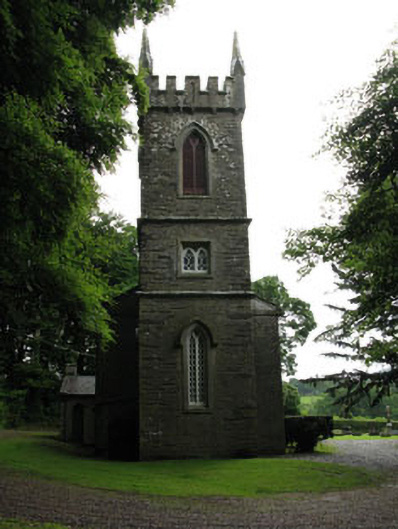 Saint Senan's Churchchurch/chapel · 647 yd
 Ardrum House (in Ruins)Country house · 819 yd
 Fulacht fia in BridgestownFulacht fia · 1166 yd
 Castle Inch (in Ruins)Castle, tower house · 1.2 mi
 Iniscarra Dam ViewViewpoint · 1.3 mi
 Ballyanly Inniscarra Slí na SláinteWalking route · 1.3 mi
 Bob AdamsMemorial · 1.4 mi
 Hugh MaguireMemorial · 1.5 mi
 Cave in Ballincollig (muskerry East By., Carrigrohane Par.)Cave · 3.2 mi
 Ballincollig CastleCastle · 3.2 mi
 Grange HillMountain / peak · 3.3 mi