What is recorded here
Gallán is a 1.6m standing stone on a SW-facing slope in County Cork, its NE-SW axis aligned like a finger pointing across the grazing land. It has watched seasons turn and perhaps marked a boundary, a meeting place, or a warning nobody wrote down. The stone does not need explanation; it needs witnessing.
In rough grazing, on SW-facing slope. Stone (H 1.6m; 1.1m x 0.7m) is subrectangular in plan, long axis NE-SW.
The above description is derived from the published 'Archaeological Inventory of County Cork. Volume 3: Mid Cork' (Dublin: Stationery Office, 1997). In certain instances the entries have been revised and updated in the light of recent research.
Date of upload/revision: 14 January 2009
Likely dating to the early Christian period, the name "Gallán" may refer to a saint or holy well associated with the stone. Such stones often marked ritual or pilgrimage sites, and may have had protective or commemorative functions in local tradition.
The monument record does not grant public access. Check the route and ask the landowner before entering private land.
- What survives
- Recorded monument
Places near here
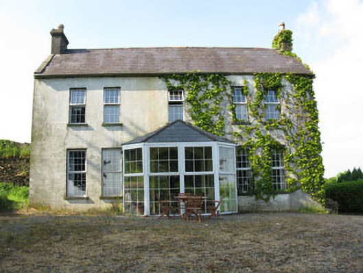 Mount Crosshouse · 503 yd
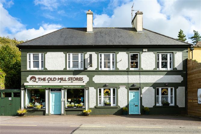 Old MillMill, unclassified · 594 yd
 Man-made underground passage (Site of)Man-made underground passage · 668 yd
 Grave YdGraveyard · 782 yd
 Neill's WoodWood · 1548 yd
 Curraheen WoodWood · 1.5 mi
 Carrigaphooca CastleCastle · 1.6 mi
 Macroom WalksVisitor information · 1.7 mi
 Macroom Castle (in Ruins)Castle, tower house · 1.8 mi
 Battle of Macroombattle · 2.0 mi
 Clonavrick CliffCliff · 2.9 mi
 BurrenMountain / peak · 4.6 mi