What is recorded here
Gallán was a standing stone in Mid Cork, lost when a farm machine swept the pasture clear. It stood on a south-facing slope, visible to shepherds and storms but absent from official maps. Its removal is a small violence, yet typical: progress in countryside often means erasing the unusual. What the stone marked is gone, but its absence still cuts.
Not shown on 1842 and 1904 OS 6-inch maps. In pasture, on S-facing slope. Removed during field fence clearance.
The above description is derived from the published 'Archaeological Inventory of County Cork. Volume 3: Mid Cork' (Dublin: Stationery Office, 1997). In certain instances the entries have been revised and updated in the light of recent research.
Date of upload/revision: 14 January 2009
The monument record does not grant public access. Check the route and ask the landowner before entering private land.
- What survives
- Recorded monument
Places near here
 IndicatedEnclosure · 634 yd
 Toberlaghteen (covered)Holy well · 1210 yd
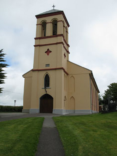 Séipéal Naomh Lachtáin [Saint Lachtáin's Catholic Church]church/chapel · 1.2 mi
 filling pump/stationfilling pump/station · 1.6 mi
 Dundareirke Castle (in Ruins)Castle, tower house · 1.6 mi
 Carrigaphooca CastleCastle · 1.6 mi
 Curraheen WoodWood · 1.9 mi
 The Gearagh Nature ReserveNature reserve · 2.5 mi
 Macroom WalksVisitor information · 4.0 mi
 Battle of Macroombattle · 4.3 mi
 European long distance path E8 - part IrelandWalking route · 5.0 mi
 Kilmichael Ambush SiteMonument · 5.5 mi