What is recorded here
Galláin holds two weathered stones six metres apart on a small hillock above the Durrus river, aligned northeast to southwest since before human memory. The taller southern stone rises twelve decimetres while its northern partner reaches sixty-five, creating a narrow gateway that may have marked territory, tested courage or simply watched the river flow. People likely passed between them during storms, festivals or quiet moments when the land felt alive. The stones remain standing because they were set to withstand time itself.
On top of a small hillock, 180m N of Durrus river. Stones stand 6.4m apart, long axis NE-SW. Stone to NE and SW measure H 0.65m; 0.6m x 0.55m, and H 1.2m; 1.1m; 0.4m respectively. (Ó Nualláin 1988, 251, no. 169; Roberts 1988).
The above description is derived from the published 'Archaeological Inventory of County Cork. Volume 1: West Cork' (Dublin: Stationery Office, 1992). In certain instances the entries have been revised and updated in the light of recent research.
Date of upload/revision: 14 January 2009
The monument record does not grant public access. Check the route and ask the landowner before entering private land.
- What survives
- Recorded monument
Places near here
 Ardrah FortFairy fort / earthen ringfort · 642 yd
 Letterlicky FortFairy fort / earthen ringfort · 1239 yd
 Durrus Church (in Ruins)Church · 1260 yd
 Scart Castle (Site of)Castle, unclassified · 1344 yd
 Maggie MurphysRuins · 1.5 mi
 Seskin ViewViewpoint · 1.7 mi
 Barnageehy Loop WalkWalking route · 1.9 mi
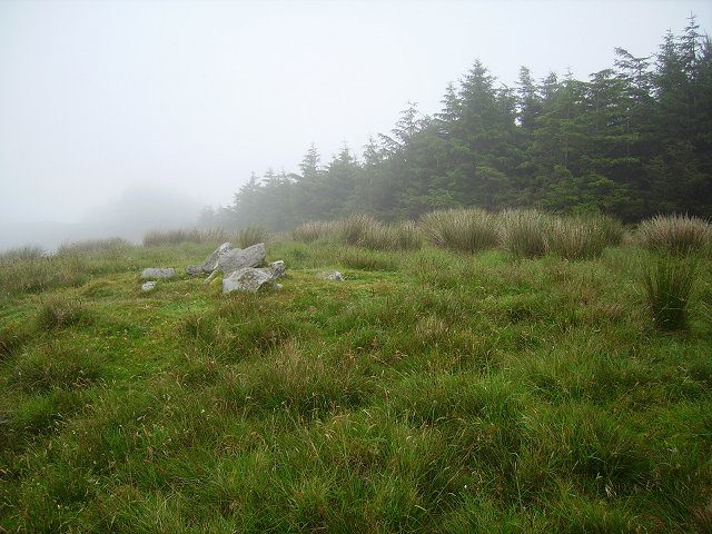 Derrylahard EastMountain / peak · 2.1 mi
 GinkgoGinkgo · 2.4 mi
 Bantry HouseHeritage attraction · 2.5 mi
 KnockboolteenaghMountain / peak · 2.6 mi
 Graveyard in TownlotsGraveyard · 2.6 mi