What is recorded here
Galláin is a four-stone row in County Cork pasture, aligned northeast to southwest at the foot of Bweengduff mountain. Three stones still stand between seven and eight metres apart, while the fourth lies prostrate four metres beyond the last, as if the row exhaled and dropped one knee into the grass. The Duvglasha River valley gives the stones their address, but the stones give the valley a pause, a place where walking becomes watching and watching becomes remembering.
In gently sloping pasture, in valley of Duvglasha River at NE foot of Bweengduff mountain; standing stone pair (9847) c. 300m to S. Row of four stones, aligned NE-SW, one of which is prostrate; overall length of erect stones is 7.6m. NE stone is 1.1m L, 0.45m T and 4.2m H. Second stone, 1.2m to SW, is 1.2m L, 0.7m T and 3.25m H. Third stone, 2m from last, is 1.5m L, 0.3m T and 3.7m H. Fourth stone is prostrate and lies 4.1m to SW; it measures 3.65m by 0.7m by 0.3m T. (Ó Nualláin 1988, 231, no.5)
The above description is derived from the published 'Archaeological Inventory of County Cork. Volume 4: North Cork' (Dublin: Stationery Office, 2000). In certain instances the entries have been revised and updated in the light of recent research.
Date of upload/revision: 14 January 2009
Likely dating to the Neolithic or Bronze Age, the row of stones at Galláin, Garrane may have functioned as a ritual or ceremonial alignment, possibly linked to astronomical observations or territorial markers. Local folklore sometimes associates such stone rows with ancient funerary practices or fairy paths.
The monument record does not grant public access. Check the route and ask the landowner before entering private land.
- What survives
- Recorded monument
Places near here
 IndicatedFairy fort / earthen ringfort · 310 yd
 Man-made underground passage in Garrane (duhallow By., Kilshannig Par.)Man-made underground passage · 615 yd
 Bweeng LittleMountain / peak · 1521 yd
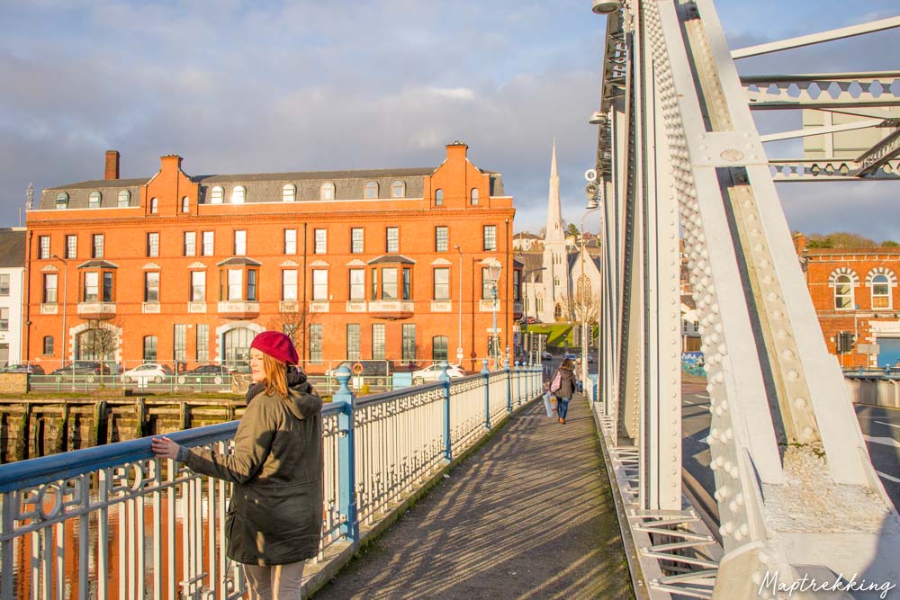 Monkeys BridgeBridge · 1.3 mi
 Saint Abigail's Wellholy well · 2.1 mi
 Eagle's NestMountain / peak · 3.6 mi
 Dromaneen CastleHeritage attraction · 4.3 mi
 Gurteenkreen Castle (Site of)Castle, unclassified · 4.7 mi
 Mount Hillary - Mount Hillary LoopWalking route · 5.1 mi
 Mount Hillary - Knightfield LoopWalking route · 5.2 mi
 Knockduff Wind FarmVisitor information · 5.8 mi
 In loving memory of Elvis O'DonoghueMemorial · 6.2 mi