
What is recorded here
No visible trace remains of the stone-lined chamber hidden inside the inner rampart at Garrane. It measured twelve feet by ten feet and sank seven feet below the ground, yet it vanished from modern sight. The chamber may have been a lime kiln rather than a secret passage, but that uncertainty preserves its mystery.
In ringfort (CO041-081---). Bowman (1934, 544) recorded a Man-made underground passage 'lined with stones and measuring 12ft by 10ft by 7ft deep, on the inside of the inner rampart'. No visible surface trace. Bowman may have been referring to the lime kiln in the bank on the N side of the ringfort.
The above description is derived from the published 'Archaeological Inventory of County Cork. Volume 4: North Cork' (Dublin: Stationery Office, 2000). In certain instances the entries have been revised and updated in the light of recent research.
Date of upload/revision: 14 January 2009
The monument record does not grant public access. Check the route and ask the landowner before entering private land.
- What survives
- Recorded monument
Places near here
 Man-made underground passage (Site of)Man-made underground passage · 558 yd
 Kilcullin fortFairy fort / earthen ringfort · 654 yd
 Bweeng LittleMountain / peak · 1457 yd
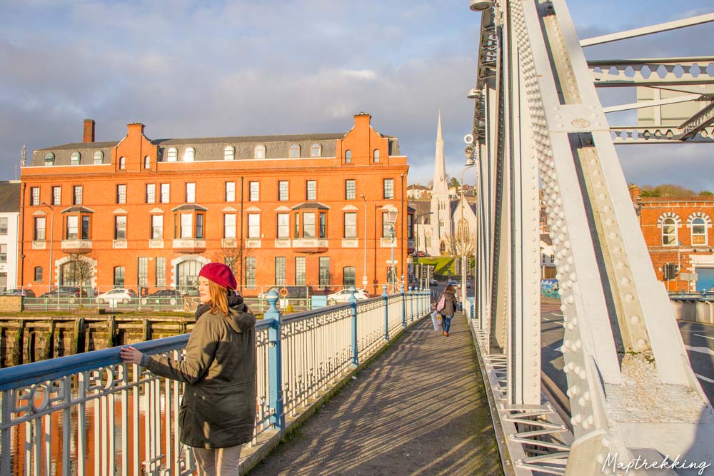 Monkeys BridgeBridge · 1.7 mi
 Saint Abigail's Wellholy well · 1.8 mi
 Eagle's NestMountain / peak · 3.6 mi
 Dromaneen CastleHeritage attraction · 4.0 mi
 Gurteenkreen Castle (Site of)Castle, unclassified · 4.4 mi
 Mount Hillary - Mount Hillary LoopWalking route · 4.8 mi
 Mount Hillary - Knightfield LoopWalking route · 4.9 mi
 Knockduff Wind FarmVisitor information · 5.9 mi
 Mallow River TrailVisitor information · 6.1 mi
Other information
Photo: Credit not shown in the picture search · Rights wording not checked; contact us if this picture should be removed