What is recorded here
In rolling pasture, incorporated in field fence. Stones, aligned NE-SW, stand 1.6m apart; overall length 3.7m. NE stone is 0.8m L, 0.6m T and 1.45mH. SW stone is 1.25m L, 0.8m T and 1m H. (O Nualláin 1988, 247, no. 130)
The above description is derived from the published 'Archaeological Inventory of County Cork. Volume 1: West Cork' (Dublin: Stationery Office, 1992). In certain instances the entries have been revised and updated in the light of recent research.
Date of upload/revision: 14 January 2009
The monument record does not grant public access. Check the route and ask the landowner before entering private land.
- What survives
- Recorded monument
Places near here
 Moyny Bridge WalkWalking route · 1156 yd
 Man-made underground passage in Knockane (carbery West (e.d) By.)Man-made underground passage · 1544 yd
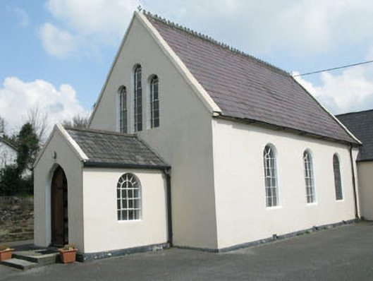 Drimoleague Methodist Churchchurch/chapel · 1580 yd
 Fulacht fia in Garranes SouthFulacht fia · 1660 yd
 Drimoleague Heritage Loop WalkWalking route · 1749 yd
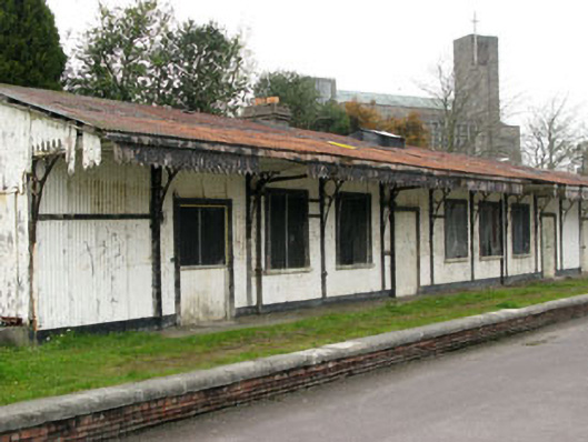 Drimoleague Railway Stationrailway station · 1751 yd
 Castle DonovanCastle · 2.3 mi
 Castle Donovan (in Ruins)Castle, tower house · 2.3 mi
 Mullach MéiseMountain / peak · 3.7 mi
 Nowen Hill SW TopMountain / peak · 4.0 mi
 Francis O'Neill PlaqueMemorial · 4.1 mi
 Monterey CypressMonterey Cypress · 8.5 mi