What is recorded here
In flat pasture, on SE slopes of Uctough Hill. Monument demolished between 1935 and 1972. Comprised row of five stones, three of which were prostrate in 1916; aligned E-W. Row was c. 14m in overall length. E stone was 1.7m L, 0.5m T and 1.7m H. Next stone lay 1.1m to W; it measured 1.25m by 0.9m by 0.2m T. Third stone, 1.15m to W, was 1.6m L, 0.6m T and 4.1m H. Fourth stone lay 1.15m to W; it measured 2.6m by 0.9m by 0.4m. Fifth stone lay 1.5m to W; it measured 4.55m by 1.5m and 0.3m T. (O Nualláin 1988, 232, no. 13)
The above description is derived from the published 'Archaeological Inventory of County Cork. Volume 3: Mid Cork' (Dublin: Stationery Office, 1997). In certain instances the entries have been revised and updated in the light of recent research.
Date of upload/revision: 14 January 2009
The monument record does not grant public access. Check the route and ask the landowner before entering private land.
- What survives
- Recorded monument
Places near here
 BarrowBarrow, ring-barrow · 62 yd
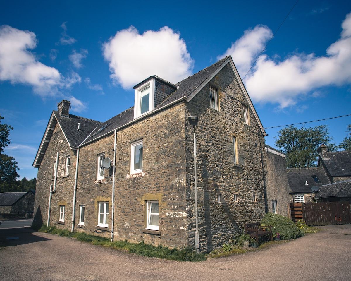 Cist in Kilmartin UpperCist · 324 yd
 Quarry in BarrahaurinQuarry · 1.1 mi
 Saint Bartholomew's WellSpring · 1.3 mi
 church/chapelchurch/chapel · 1.6 mi
 New TipperaryVisitor information · 2.5 mi
 Knockduff Wind FarmVisitor information · 3.2 mi
 Oldcastle WoodWood · 3.6 mi
 Knockcraugh HillMountain / peak · 3.9 mi
 Eagle's NestMountain / peak · 4.7 mi
 Mullinhassig WaterfallWaterfall · 5.0 mi
 Ballyvodane Castle (in Ruins)Castle, unclassified · 5.0 mi