
What is recorded here
Disused burial ground southeast of St. Anne's Church, bounded by high stone walls on three sides and railings above a low wall to the north. Nineteenth-century headstones lean upright along the east and west walls beside chest tombs set in 1796 and scattered pyramidal markers. The rectilinear plot measures about forty-six metres north to south and fifty-five metres east to west, holding quiet evidence of Cork's changing medical and religious life.
To SE of St. Anne's C of I church (CO074-033003-) and on W side of former North Infirmary Hospital. Roughly rectangular graveyard (c. 46m N-S; c. 55m E-W), enclosed by high stone wall to E, S and W; low stone wall topped by railings to N. No longer in use. Line of 19th century inscribed headstones placed upright along E and W walls. Chest tombs in original positions, dating from 1796; also some pyramidal gravemarkers remain.
See Excavations 2001, 39-40; Excavations 2002, 72.
The above description is derived from the published 'Archaeological Inventory of County Cork. Volume 2: East and South Cork' (Dublin: Stationery Office, 1994). In certain instances the entries have been revised and updated in the light of recent research.
Date of upload/revision: 14 January 2009
The monument record does not grant public access. Check the route and ask the landowner before entering private land.
- What survives
- Recorded monument
Places near here
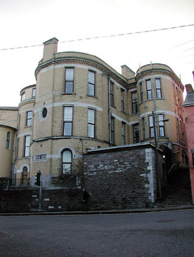 Shandon Court Hotelhospital/infirmary · 60 yd
 cobbles/flags/paving/kerbingcobbles/flags/paving/kerbing · 117 yd
 Church (Site of)Church · 234 yd
 Ladys WellHoly well · 306 yd
 Lavitts QuayMemorial · 328 yd
 Tourist OfficeVisitor information · 414 yd
 Cork WalksVisitor information · 781 yd
 Mashanaglass Castle (in Ruins)Castle, tower house · 19 mi
 Ummera WoodWood · 19 mi
 Summerhouse WoodForest · 19 mi
 Seefin East TopMountain / peak · 20 mi
 SeefinMountain / peak · 21 mi
Other information
Photo: PeterH · CC BY-SA 4.0