
What is recorded here
G Yd is an irregular graveyard beside St. Anne's church in Shandon, preserving stones from 1703 and the shadow of a lost church destroyed during the siege of 1690. Its high wall, horizontal headstones, chest tombs and Waters vault still mark the boundary between public park and dead neighbourhood. The place suggests that Shandon has kept its dead close, arranging memory around a church that replaced another rather than erasing it.
Irregular graveyard to N and E of St. Anne's C of I church, Shandon (CO074-03303-). Enclosed by high stone wall, with Skiddy's Almshouses (CO074-105---) forming SE corner, railing to S; now public park. Headstones placed horizontally along base of W wall of graveyard, N wall and E gable of church; vault to Waters family inside eastern gate; some chest tombs and pyramidal grave markers remain; line of graves, consisting of two chest tombs, outside E wall of graveyard, enclosed by railings. Inscribed headstones date from 1703. Site of earlier church of St. Mary's Shandon, shown on Phillips map (1685) 'as a long rectangular structure with three transepts of annexes, two on the southside and one on the north' (Bradley et al. 1985, 70). Demolished during siege of 1690 and replaced by St. Mary's (CO074-03102-), lower down hill, in 1693.
The above description is derived from the published 'Archaeological Inventory of County Cork. Volume 2: East and South Cork' (Dublin: Stationery Office, 1994). In certain instances the entries have been revised and updated in the light of recent research.
Date of upload/revision: 14 January 2009
The monument record does not grant public access. Check the route and ask the landowner before entering private land.
- What survives
- Recorded monument
Places near here
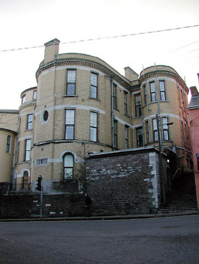 Shandon Court Hotelhospital/infirmary · 89 yd
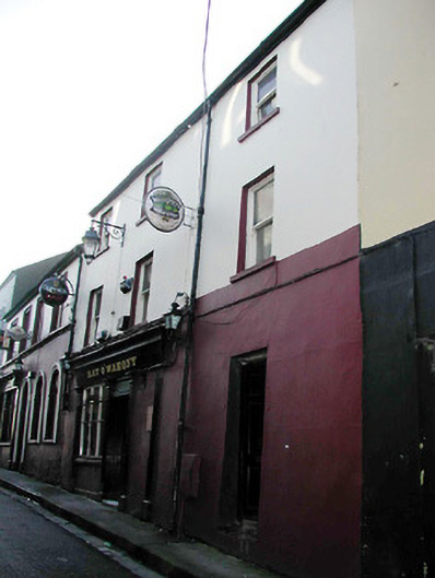 Kay O' Mahony'shouse · 153 yd
 Church (Site of)Church · 252 yd
 Ladys WellHoly well · 282 yd
 Lavitts QuayMemorial · 396 yd
 Tourist OfficeVisitor information · 461 yd
 Cork WalksVisitor information · 821 yd
 Mashanaglass Castle (in Ruins)Castle, tower house · 19 mi
 Ummera WoodWood · 19 mi
 Summerhouse WoodForest · 19 mi
 Seefin East TopMountain / peak · 20 mi
 SeefinMountain / peak · 21 mi
Other information
Photo: Credit not shown in the picture search · Rights wording not checked; contact us if this picture should be removed