What is recorded here
According to the OSL (Herity 2002, 45 (137)), 'In Carragh T.L. are the ruins of an old church (KD018-011001-), the burial ground belonging to which is still in use'. The burial ground is, however, not indicated on the 1st ed. (1838) of the OS 6-inch map. At the top of a gentle, E-facing pasture slope. A rectangular area (dims L 40m E-W, Wth c. 30m) is enclosed by a mortared stone wall on the S, W and N sides, and by a deep drain (D 2m; Wth 1.8m) along the E. There is an entrance gate on the W side. The ruins of a church (KD018-011001-) lie in the S sector and the burials are marked mainly by headstones, with a few flat graveslab, the earliest legible of which date to the 18th-century. A modern extension to the graveyard runs to the E and S. A roadside cross (KD018-010----) once stood c. 200m to the NW and a second roadside cross (KD018-012----) existed in the vicinity also.
Compiled by: Gearóid Conroy
Date of upload: 10 June 2011
The monument record does not grant public access. Check the route and ask the landowner before entering private land.
- What survives
- Recorded monument
Places near here
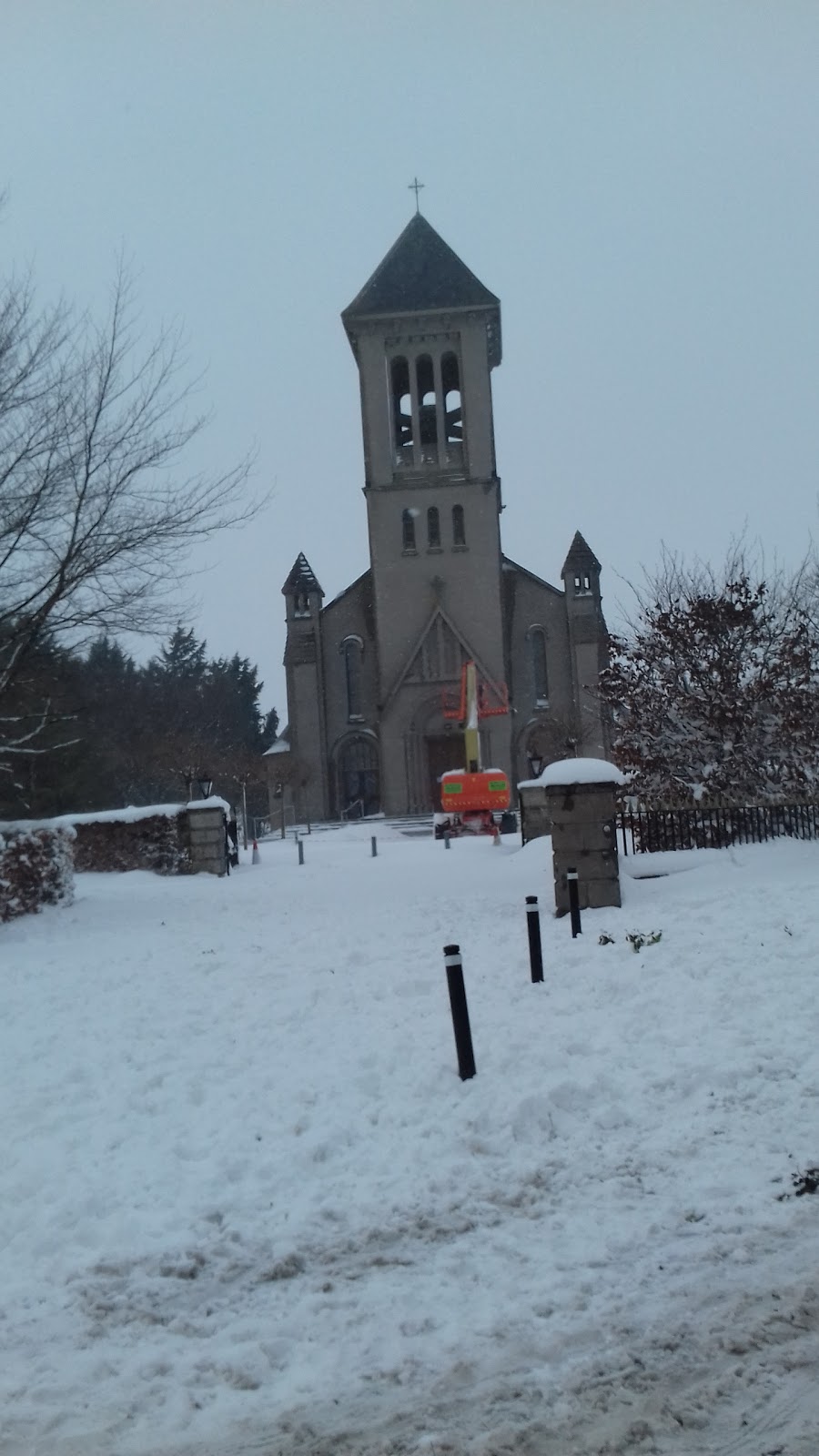 Church in CarraghChurch · 1 yd
 Site of Carragh Parish Church (C of I)Archaeological place · 25 yd
 Carragh CrossCross, Wayside cross · 241 yd
 Catholic Church of Our Lady and Saint Josephchurch/chapel · 330 yd
 Museum of MotorsportMuseum · 1.4 mi
 IndicatedCastle, tower house · 1.5 mi
 European Crab AppleEuropean Crab Apple · 1.8 mi
 Castle RagCastle, tower house · 2.5 mi
 Naas ParkWood · 3.1 mi
 Grand Canal WayVisitor information · 4.1 mi
 Newbridge SilverwareMuseum · 5.2 mi
 Councillor Jim MileyMemorial · 9.3 mi