What is recorded here
Roughly circular, almost levelled mound (20m N-S; 16m E-W; H 0.55m) in pasture close to N bank of stream. Well c. 30m to N, connected to stream by channel which cuts E edge of mound.
The above description is derived from the published 'Archaeological Inventory of County Cork. Volume 1: West Cork' (Dublin: Stationery Office, 1992). In certain instances the entries have been revised and updated in the light of recent research.
Date of upload/revision: 14 January 2009
The monument record does not grant public access. Check the route and ask the landowner before entering private land.
- What survives
- Recorded monument
Places near here
 Sun Viewhouse · 818 yd
 Man-made underground passage in CurrycloghMan-made underground passage · 947 yd
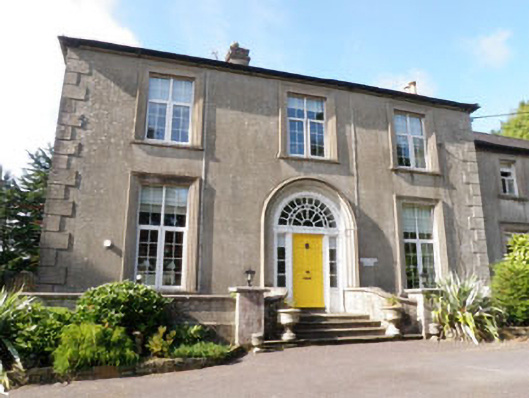 Coolfadda Househunting/fishing lodge · 1029 yd
 Icehouse in CastlebernardIcehouse · 1179 yd
 Cottage Road WoodWood · 1478 yd
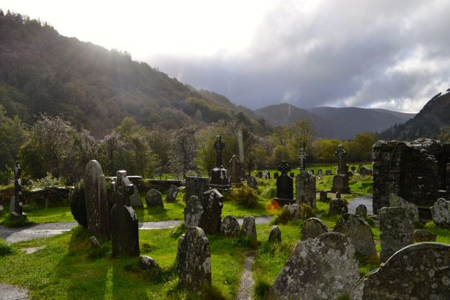 Graveyard in GullyGraveyard · 1.2 mi
 Cathal Hurley MemorialMemorial · 1.2 mi
 Carbury's WellSpring · 2.3 mi
 Mount Pleasant WoodWood · 2.8 mi
 Towers (in Ruins)House, fortified house · 4.0 mi
 Tobar MacloonaboySpring · 4.7 mi
 Gurteen Bridgebridge · 1248 yd