What is recorded here
No stone or ditch remains at the western foot of the Kildare slope, only the memory of a boiling pit and the pasture that swallowed it. The land was cleared and re-fenced before anyone could protect what the heat had made visible. Forgetting came quickly, but the shape of the loss is plain: a common place of gathering was erased for the convenience of a field boundary.
In improved pasture at the W foot of a moderately steep slope. In 1972, this monument, together with a second fulacht fia (KD029-020----) c. 65m to the ESE, was described as being ‘recently destroyed’ with a wide area of adjoining land cleared of ditches and re-fenced (SMR file). No visible surface trace survives.
Compiled by: Gearóid Conroy
Date of upload: 06 September 2013
The monument record does not grant public access. Check the route and ask the landowner before entering private land.
- What survives
- Recorded monument
Places near here
 Castle in ruinsCastle, unclassified · 540 yd
 St. Johns WellHoly well · 1298 yd
 Church (in Ruins)Church · 1.0 mi
 Enclosure in Ardinode EastEnclosure · 1.1 mi
 CastleCastle, unclassified · 1.6 mi
 English hollyEnglish holly · 1.6 mi
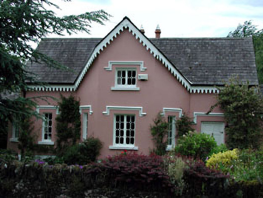 Peacock Cottagehouse · 1.7 mi
 Glen WoodWood · 2.7 mi
 Saint Kevin's CaveMemorial · 2.8 mi
 Burial ground in CrehelpBurial ground · 3.0 mi
 Hollywood SignHeritage attraction · 3.0 mi
 National Bird of Prey CentreHeritage attraction · 3.8 mi