
What is recorded here
Situated in pasture towards the top of the N-facing slope of a NW-SE ridge. It is marked only on the 1927 ed. of the OS 6-inch map, but is not visible at ground level where there is an oval spoil mound (dims. 10.3m NE-SW; 7.8m NW-SE; H 0.6-1.2m). This may be the fulacht fia investigated by G.W. Forsayeth (1911c; 1913b) which comprised a horseshoe-shaped mound (dims. c. 18m E-W; c. 15m N-S; H c. 1m) open at SE. A trench (D c. 1m) was excavated through broken and burnt stone in the trough area where a stone floor was found. No animal bones or artefacts were recovered.
Forsayeth, G. W. (1911c) Notes and querris - 'Prehistoric cooking place' WAJ 14, 142-4.
Forsayeth, G. W. (1913b) Preshstoric cooking-places, JRSAI 43, 178-80.
The above description is derived from the published 'Archaeological Inventory of County Waterford' (Dublin: Stationery Office, 1999). In certain instances the entries have been revised and updated in the light of recent research.
Date of upload/revision: 11th August, 2011. Compiled by: Michael Moore.
The monument record does not grant public access. Check the route and ask the landowner before entering private land.
- What survives
- Recorded monument
Places near here
 RoadRoad, road/trackway · 352 yd
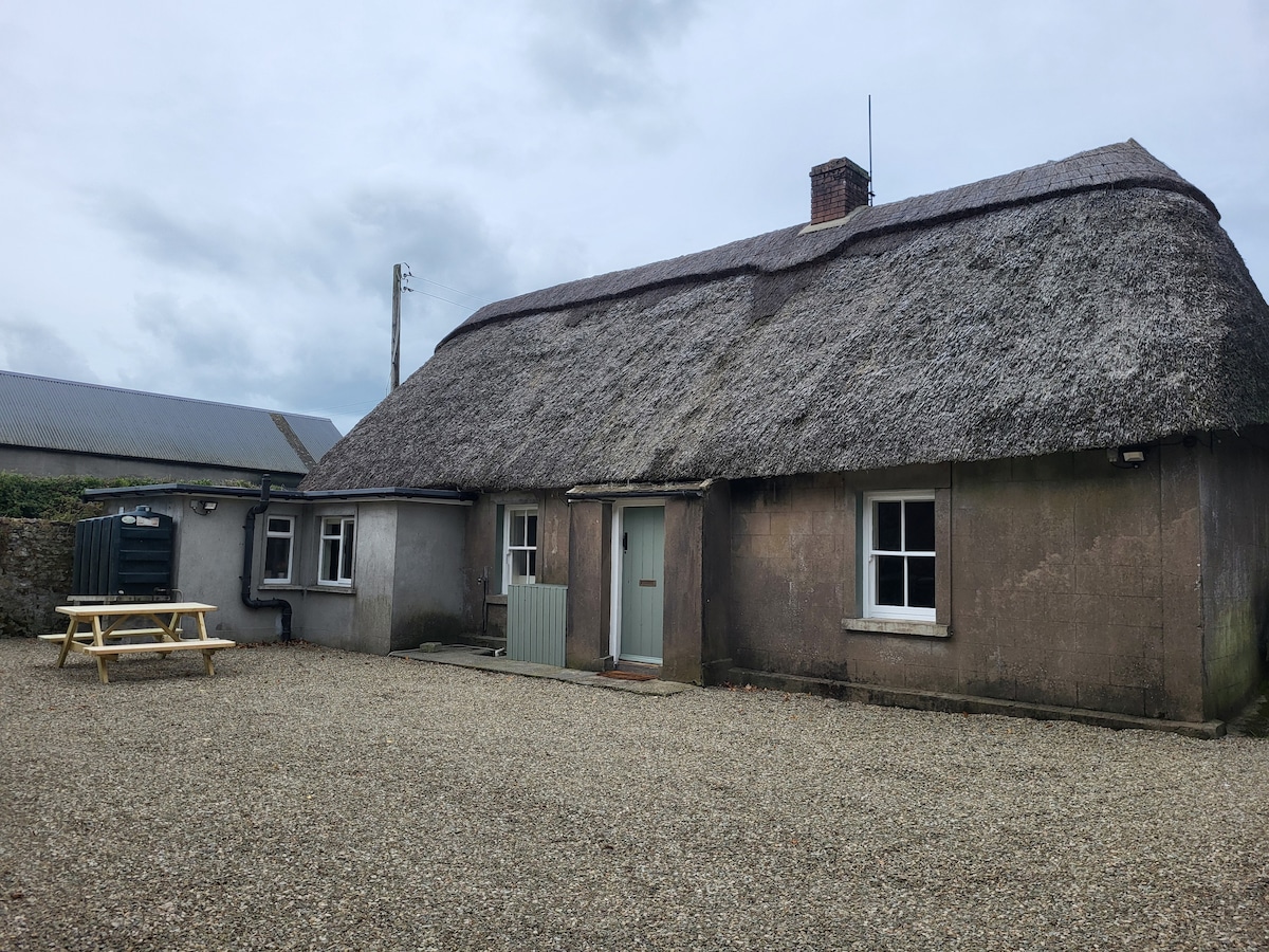 Fulacht FiaidhsFulacht fia · 685 yd
 site of CastleCastle, unclassified · 722 yd
 Clonkerdin Househouse · 1030 yd
 Embanked enclosureFairy fort / ringfort · 1194 yd
 Kilgreany CaveCave · 1.7 mi
 Dromona HillMountain / peak · 2.6 mi
 Dromore WoodWood · 3.2 mi
 Battle of AffaneMajor battlefield · 3.3 mi
 Dromana GateHeritage attraction · 3.5 mi
 Saint Declan's Holy WellSpring · 3.5 mi
 CastleCastle, tower house · 3.6 mi
Other information
Photo: Credit not shown in the picture search · Rights wording not checked; contact us if this picture should be removed