What is recorded here
Fulacht Fiadh are burnt mounds scattered across Ireland, with nearly 6,000 sites recorded, mostly dating to the Middle Bronze Age around 1800 B.C. They appear as horseshoe-shaped ridges of heated stone and soil beside streams or marshes, hiding troughs that likely filled themselves with water. Scholars still argue whether people cooked food, washed cloth, bathed bodies or brewed drink inside them, while the wet ground rejected permanent settlement.
Shown on 1938 OS 6-inch map to E of stream. No evidence of site; area flooded by artificial lake in sand and gravel works. Two other fulachta fiadh close by (CO061-120001-; CO061-120002-) also flooded.
The above description is derived from the published 'Archaeological Inventory of County Cork. Volume 3: Mid Cork' (Dublin: Stationery Office, 1997). In certain instances the entries have been revised and updated in the light of recent research.
Date of upload/revision: 14 January 2009
The monument record does not grant public access. Check the route and ask the landowner before entering private land.
- What survives
- Recorded monument
Places near here
 Grave YdGraveyard · 647 yd
 HayfieldCountry house · 833 yd
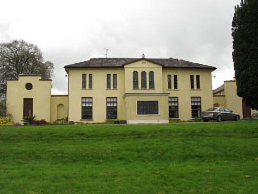 Meeshal Housecountry house · 847 yd
 Burial ground in KilblafferBurial ground · 1030 yd
 Carrignamuck Tower HouseCastle · 1543 yd
 Oldcastle WoodWood · 1.5 mi
 Coachford Greenway (End)Visitor information · 2.8 mi
 Ballyanly Inniscarra Slí na SláinteWalking route · 3.1 mi
 Farran WoodWood · 3.2 mi
 Saint Bartholomew's WellSpring · 3.3 mi
 Old Mansion HoCastle, Anglo-Norman masonry castle · 3.3 mi
 Bob AdamsMemorial · 3.4 mi