What is recorded here
In marshy ground, on E bank of stream. Shown on 1939 OS 6-inch map as circular mound. Hartnett (1939, 153) notes 'it contains the usual burnt stones'. No visible surface trace.
The above description is derived from the published 'Archaeological Inventory of County Cork. Volume 3: Mid Cork' (Dublin: Stationery Office, 1997). In certain instances the entries have been revised and updated in the light of recent research.
Date of upload/revision: 14 January 2009
The monument record does not grant public access. Check the route and ask the landowner before entering private land.
- What survives
- Recorded monument
Places near here
 RoadRoad, unclassified togher · 232 yd
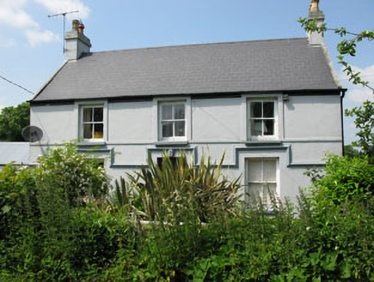 Currabeha Housefarm house · 362 yd
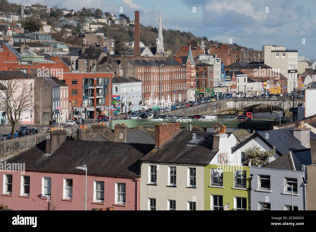 Fulacht fia in BridgestownFulacht fia · 1.1 mi
 Hugh MaguireMemorial · 1.5 mi
 Site of Grave YardBurial ground · 1.6 mi
 Castle (in Ruins)Castle, tower house · 1.8 mi
 Blarney lake bird nest islandIslet · 1.8 mi
 Blarney LakeVisitor information · 1.9 mi
 Stone BeachBeach / strand · 1.9 mi
 Turner's Rock WoodWood · 2.0 mi
 Lion RockNamed rock · 2.0 mi
 Patrick BurnsMemorial · 2.0 mi