What is recorded here
In pasture. Shown on 1937 OS 6-inch map as mound. No visible surface trace. Possibly one of two fulachta fiadh recorded by Bowman (1934, 44) on O. Moynihan's land (see 10394). Second fulacht fiadh (10394) c. 110m to SW.
The above description is derived from the published 'Archaeological Inventory of County Cork. Volume 4: North Cork' (Dublin: Stationery Office, 2000). In certain instances the entries have been revised and updated in the light of recent research.
Date of upload/revision: 14 January 2009
The monument record does not grant public access. Check the route and ask the landowner before entering private land.
- What survives
- Recorded monument
Places near here
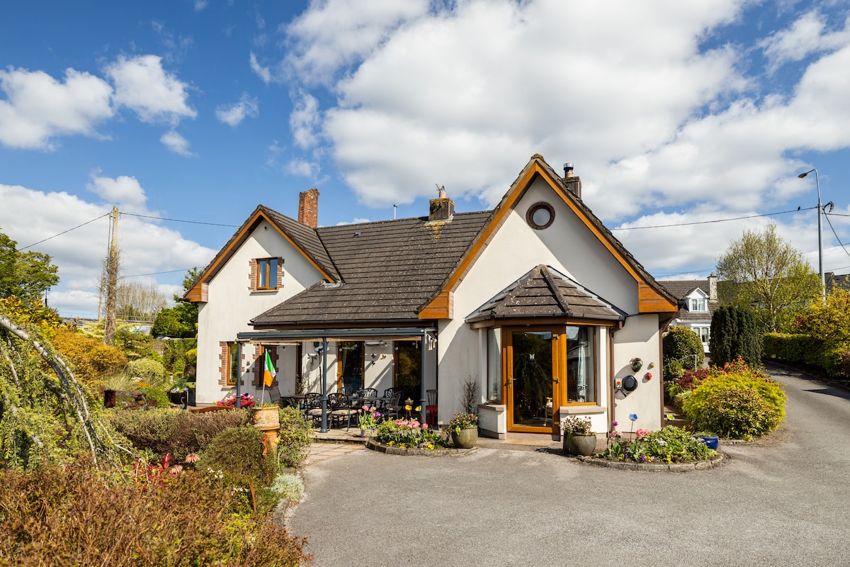 IndicatedFairy fort / earthen ringfort · 890 yd
 Enclosure in Ballintober (duhallow By.)Enclosure · 1259 yd
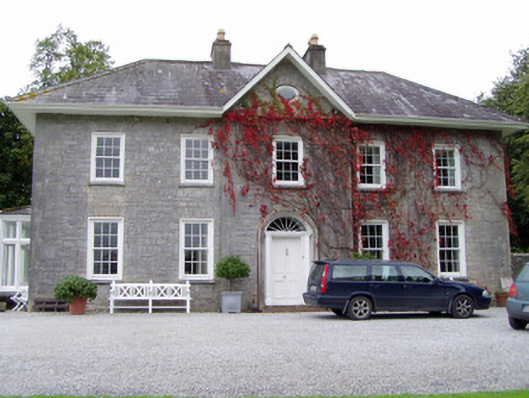 Glenlohane Househouse · 1639 yd
 Springville Housefarmyard complex · 1725 yd
 Burial ground in AssolasBurial ground · 1.1 mi
 European YewEuropean Yew · 1.3 mi
 Ballyheen Castle (Site of)Castle, unclassified · 1.4 mi
 Kanturk CastleHeritage attraction · 1.5 mi
 Hanna SheehyMemorial · 1.7 mi
 St Fursey's WellSpring · 2.2 mi
 Clonmeen Court (Site of)House, fortified house · 2.3 mi
 Mount Hillary - Knightfield LoopWalking route · 3.6 mi