What is recorded here
In pasture. Low, partially levelled kidney-shaped mound of burnt material (22.7m N-S; 22m ENE-WSW; H 0.8m); opening (Wth 2.7m) faces WSW. Northern end of mound better preserved than S but has oval depression (6m x 3m; D c. 0.4m) near N edge.
The above description is derived from the published 'Archaeological Inventory of County Cork. Volume 4: North Cork' (Dublin: Stationery Office, 2000). In certain instances the entries have been revised and updated in the light of recent research.
Date of upload/revision: 14 January 2009
The monument record does not grant public access. Check the route and ask the landowner before entering private land.
- What survives
- Recorded monument
Places near here
 IndicatedEnclosure · 1052 yd
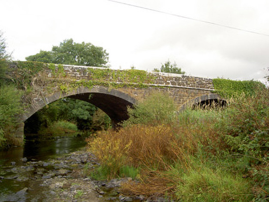 Raheen Bridgebridge · 1246 yd
 BarrowBarrow, ring-barrow · 1564 yd
 MillMill, unclassified · 1.0 mi
 Castle LisheenCastle · 3.6 mi
 National Co-op MuseumMuseum · 3.7 mi
 Carrig Castle (Site of)Castle, unclassified · 3.7 mi
 Mullaghareirk - Banane LoopWalking route · 4.6 mi
 Stanner's Glen, Priory WoodWood · 4.6 mi
 ToberacappeenSpring · 4.9 mi
 KnockacummerMountain / peak · 6.4 mi
 Rock HillMountain / peak · 7.4 mi