What is recorded here
Situated on the N bank of a nearby stream in undulating countryside. The site is partially uncovered as an irregular spread of burnt material (dims. 10m N-S x 7m E-W) identified during deep ploughing. No trough area visible - it could be located under the soil which has not been stripped away. The burnt material consisted of fire-cracked stone in a charcoal-rich soil.
Compiled by: Caimin O'Brien.
Date of upload: 22 September 2008
The monument record does not grant public access. Check the route and ask the landowner before entering private land.
- What survives
- Recorded monument
Places near here
 Saint Kieran's Church (Modreeny)church/chapel · 416 yd
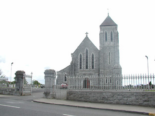 Catholic Church of Saint Michael and Saint Johnchurch/chapel · 432 yd
 Thomas MacDonagh Heritage CentreMuseum · 489 yd
 MacDonagh HouseMemorial · 530 yd
 Sweathouse in OxparkSweathouse · 739 yd
 CastleCastle, tower house · 790 yd
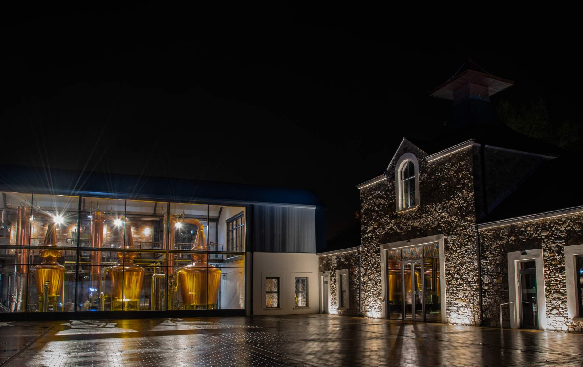 DistilleryArchaeological place · 899 yd
 Knockanacree WoodForest · 1.2 mi
 Castle in ruinsCastle, unclassified · 1.4 mi
 Ballycapple WoodForest · 2.6 mi
 James Devaney MemorialMemorial · 5.0 mi
 Interragh HillMountain / peak · 8.6 mi