What is recorded here
Two ancient kitchens still breathe beneath the quiet grass at Town Parks, their heat written in charcoal and stone. One mound stretches fifteen metres across, its broken rocks still warm with memory beside a water hole that may have fed the fire for generations. The second sits thirty metres north-west, forgotten but unbroken. Both belong to a time when people cooked, cleaned, or gathered around steam rising from earth. They were not buried deliberately. They were simply left behind, half-hidden by fields and roads, waiting for someone to notice the shape of their hunger.
Situated on a fairly level landscape. Archaeological testing (04E0916) by S. Delaney (2005) at Testing Area 11 of Contract 4 of the M3 motorway identified (excavations.ie 2004:1271) archaeological material that was partially excavated (E003147) in January 2007 by G. McLoughlin (2010) as Town Parks 1 when an area of 1800 square metres was opened and two fulachta fia were recorded (excavations.ie 2007:1395), but both features survive partially outside the excavated area to the SW.
Mound A consisted of a large spread of broken and burnt stones (dims 17m x 15m; T 0.16m) that extended outside the excavated area to the SW. The mound is adjacent to a large pit or water-hole (dims 1.8m plus x 1.8m plus; D 1.12m) also extending off to the SW. A rectangular trough (dims 1.9m x 1.25m; D 0.2m) with a rounded base that was filled with a grey/black silty sand and heat-affected stones was c. 3m N of the mound. A sample of hazel charcoal from its fill provided a C14 date of 2197-2034 cal. BC (UBA 11080). A smaller rectangular trough (dims 1.12m x 0.87m; D 0.31m) had a similar fill and was located at the N edge of the mound. Its E edge was truncated by a NNE-SSW post-medieval field drain (Wth 1.15m; D 0.35m). A second fulacht fia (ME017-081001-) is c. 30m to the NW. (McLoughlin 2010, 5-6)
See the attached site plan from McLoughlin (2010, fig. 5)
Compiled by: Michael Moore
Date of upload: 11 March 2022
The monument record does not grant public access. Check the route and ask the landowner before entering private land.
- What survives
- Recorded monument
Places near here
 Furzy WoodWood · 786 yd
 Tiermurrin WoodWood · 893 yd
 Enclosure in Kilmainham (kells Upper By., Teltown Par.)Enclosure · 1281 yd
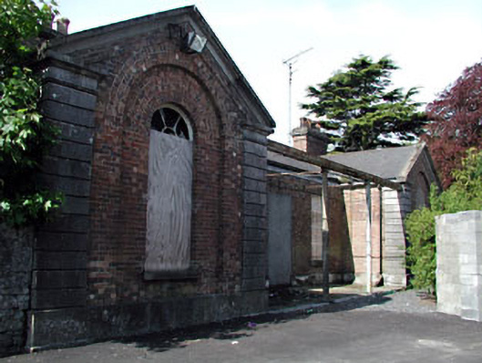 Kells Railway Stationrailway station · 1319 yd
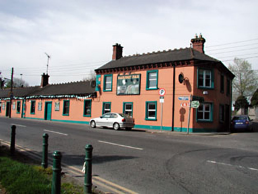 Railway Househotel · 1320 yd
 Enclosure in Headfort DemesneEnclosure · 1396 yd
 James CarolanMemorial · 1665 yd
 Saint John's CemeteryMemorial · 1702 yd
 Castle ruinsCastle · 1.3 mi
 CastleCastle, motte · 1.3 mi
 BallybegMountain / peak · 2.2 mi
 MountainpoleMountain / peak · 2.9 mi