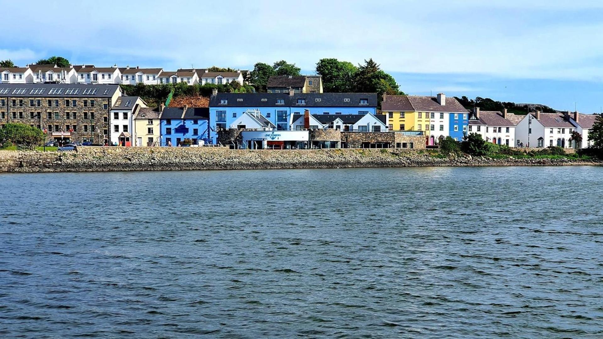
What is recorded here
Situated at the bottom of a SW-NE valley in a marshy area, close to the headwaters of a stream which is c. 20m to the NW. Kidney-shaped, grass-covered stony mound open to the NW (dims. 13m NE-SW; 7.2m NW-SE; H 0.6-0.9m). A fulacht fiadh (WA006-051----) is c. 70m to the NE, while ring-barrow (WA006-027----) is c. 200m to the ESE and enclosure (WA006-026----) is c. 145m to the SE.
The above description is derived from the published 'Archaeological Inventory of County Waterford' (Dublin: Stationery Office, 1999). In certain instances the entries have been revised and updated in the light of recent research.
Date of upload/revision: 27 July 2010
The monument record does not grant public access. Check the route and ask the landowner before entering private land.
- What survives
- Recorded monument
Places near here
 IndicatedEnclosure · 193 yd
 Fulacht fia in Tooreen EastFulacht fia · 246 yd
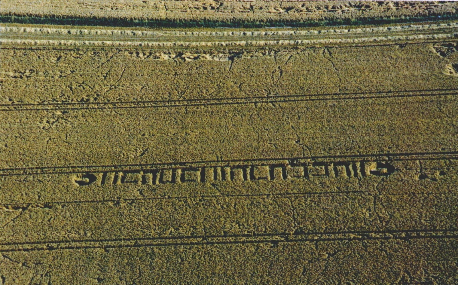 Milk HillMountain / peak · 1333 yd
 CillChurch · 1.2 mi
 KnockeenMountain / peak · 1.3 mi
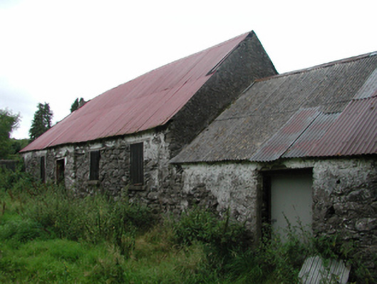 Nell's Cottagefarm house · 1.4 mi
 Knocknaree WoodForest · 1.9 mi
 Turraphuca WoodForest · 2.1 mi
 Siglloges LoopWalking route · 2.4 mi
 Site of CastleCastle, unclassified · 2.7 mi
 Coumlara LoopWalking route · 2.7 mi
 Mahon ValleyCliff · 3.1 mi
Other information
Photo: Credit not shown in the picture search · Rights wording not checked; contact us if this picture should be removed