What is recorded here
Identified in centre-line testing (E4110) in advance of the M11 Gorey to Enniscorthy road scheme and set aside for resolution as Toom 3 (Hardy et al. 2010, 74-5). It is situated on a slight S-facing slope with a NE-SW section of a small meandering E-W stream c. 10m to the S. Excavation (E4281) by Y. Whitty recorded a C-shaped spread of broken and burnt stone (dims 6.3m x 4.5m; max. T 0.26m) open to the SE overlying an oval trough (dims 2m x 1.2m; D 0.4m). A short gully (Wth 0.9m; D 0.2m; L 1.4m) attached to the S of the trough decants into a palaeochannel. A collection of 26 stake-holes c. 1m N of the trough and gully form two rough E-W lines in a concentrated area (dims 1.8m x 1.7m), and c. 5m N of the trough were two pits (dims 1.2m x 0.45m; D 0.3m: 0.38m x 0.37m; D 0.23m) and a post-hole. The fulacht fia (WX020-103----) is c. 85m to the ENE and the unrelated hearth (WX020-107----) is c. 190m to the ESE in Ballydawmore townland. (McNamara 2011; Whitty 2013)
Compiled by: Michael Moore
Date of upload: 28 November, 2013
The monument record does not grant public access. Check the route and ask the landowner before entering private land.
- What survives
- Recorded monument
Places near here
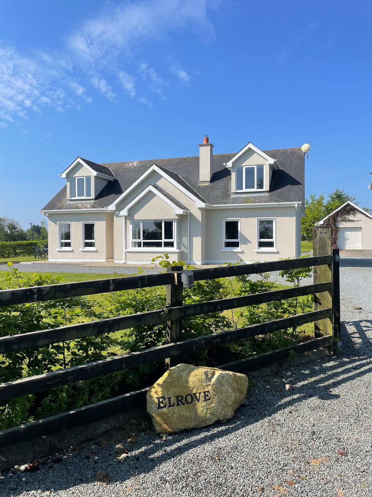 Hearth in BallydawmoreHearth · 203 yd
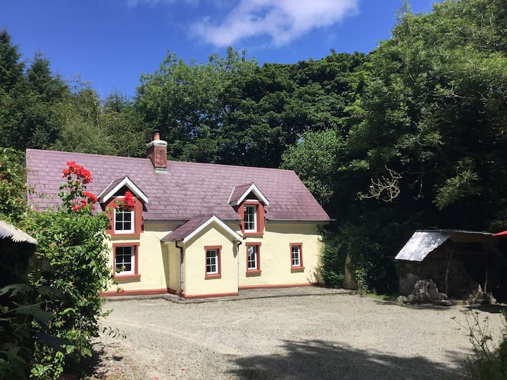 Hearth in ToomHearth · 336 yd
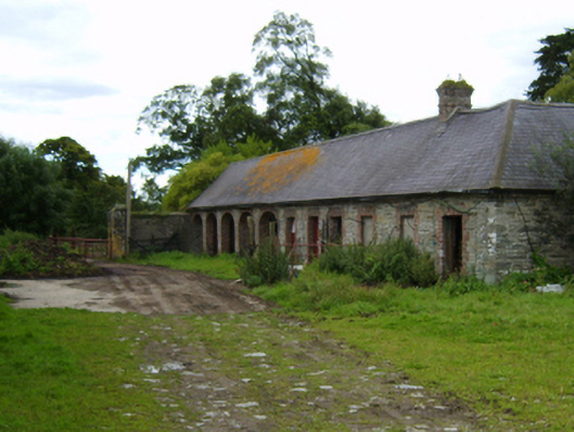 Solsborough Housefarmyard complex · 735 yd
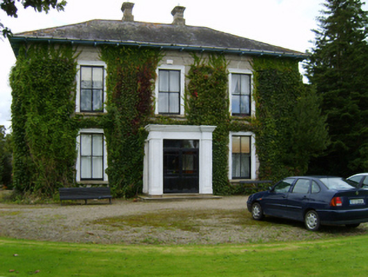 Ballyvarnafarm house · 871 yd
 Battle of Vinegar Hill, 1798Monument · 2.1 mi
 Vinegar HillMountain / peak · 2.2 mi
 U.N. Peace MemorialMonument · 2.7 mi
 Battle of Vinegar HillMajor battlefield · 2.8 mi
 Duffry GateMemorial · 2.8 mi
 National 1798 CentreMuseum · 2.9 mi
 Daphney CastleCastle, unclassified · 4.0 mi
 CastleCastle, ringwork · 4.5 mi