What is recorded here
One of a group of six (KD019-046----, KD019-048----, KD019-049----, KD019-050----, KD019-054---- and KD019-055----) in a wet, low-lying area. Now a low irregular mound which was described in 1955 (SMR file) as being horseshoe shaped in plan (diam. 10.5m; H. 0.4m).
Compiled by: Gearóid Conroy
Date of upload: 10 June 2011
The monument record does not grant public access. Check the route and ask the landowner before entering private land.
- What survives
- Recorded monument
Places near here
 Church (in Ruins)Church · 480 yd
 Stone CrossCross · 490 yd
 Baptismal FontFont · 519 yd
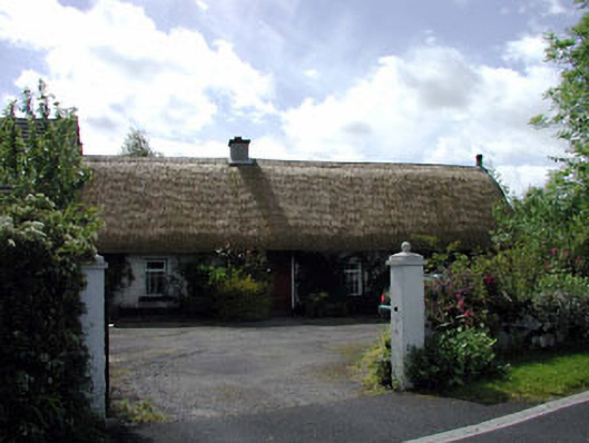 farm housefarm house · 1224 yd
 European YewEuropean Yew · 1.5 mi
 Site of Eustace CastleCastle, tower house · 1.6 mi
 South Moat, Ordnance Ground, Fair GreenCastle, motte · 1.6 mi
 Poplar SquarePicnic place · 1.6 mi
 Monread District Park WoodsWood · 1.9 mi
 The Square RenewalMemorial · 4.7 mi
 Councillor Jim MileyMemorial · 4.7 mi
 Cupidstown HillMountain / peak · 5.6 mi