What is recorded here
In tillage. Listed in the SMR (1987) as ‘Fulacht fiadh’ and in the RMP (1996) as ‘Fulacht fiadh site’ which suggest that the monument was levelled. A burnt spread is visible in the tilled field on satellite imagery (Google Earth, imagery date 13 April 2020).
See attached:
KK021-022----_01 Google Earth, satellite imagery date 13 April 2020
Compiled by: Jean Farrelly
Date of upload: 20 April 2021
The monument record does not grant public access. Check the route and ask the landowner before entering private land.
- What survives
- Recorded monument
Places near here
 Enclosure in RedbogEnclosure · 173 yd
 Enclosure in Garryduff (gowran By.)Enclosure · 1190 yd
 Goat's Bridgebridge · 1334 yd
 Castle (Site of)Castle, unclassified · 1524 yd
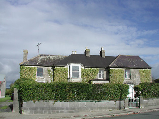 Gowran Househouse · 1595 yd
 Site of CastleCastle, unclassified · 1.2 mi
 Red BogForest · 3.3 mi
 The Green GardenWood · 3.4 mi
 St. Mogarra’s WellSpring · 5.0 mi
 Tullaherin Church and Round TowerVisitor information · 5.4 mi
 Kilbline GraveyardArchaeological place · 6.3 mi
 Time CapsuleMemorial · 6.5 mi