What is recorded here
No one knows whether the vanished trough held soup, beer or bath water, but the red stone still lies shattered under thin peat where heat once broke it open. The mound stretches thirteen metres through the bog, large enough to suggest a busy kitchen rather than a lonely fire. Turf cutters may have stripped the edge or revealed the depth, and the scraggy bushes still mark the place like a ridge on a forgotten back.
The monument was described in 1987 by the 'Castleisland District Archaeological Survey' as a 'mound (dims. 13.2m N-S x 8.3m E-W; H 0.75m) topped by a number of scraggy bushes is clearly visible in the bog. A layer of peat (D 0.3m) can be clearly seen overlying burnt black earth and burnt shattered red stone. Turf has been cut from the vicinity of the monument. No trough visible' (SMR file).
Compiled by: Caimin O'Brien
Date of upload: 27 April 2022
The monument record does not grant public access. Check the route and ask the landowner before entering private land.
- What survives
- Recorded monument
Places near here
 Burnt spread in Gneeves (trughanacmy By.)Burnt spread · 1.2 mi
 (Site of) ChurchChurch · 1.7 mi
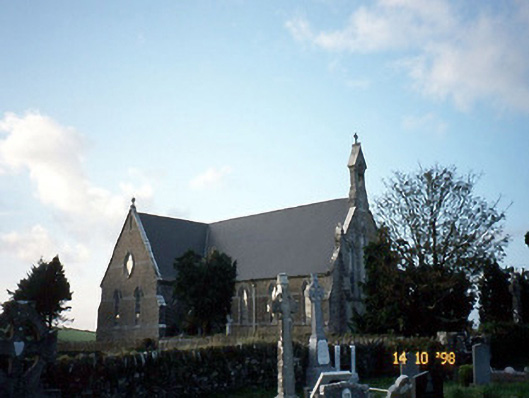 Saint Carthage's Catholic Churchchurch/chapel · 1.7 mi
 Mountcollins Bridgebridge · 2.6 mi
 Three CountiesPicnic place · 2.9 mi
 KnockateeMountain / peak · 3.6 mi
 Mount EagleMountain / peak · 4.0 mi
 Kilmurry CastleCastle · 5.8 mi
 Castle (in ruins)Castle, unclassified · 5.8 mi
 Crag CaveCave · 7.4 mi
 Barna BogForest · 9.7 mi
 Saint Ite's WellSpring · 11 mi