
What is recorded here
Monitoring of topsoil removal in 1998 uncovered a spread of burnt stone (mostly granite) and charcoal across an area measuring 4m x 3m. This was at most 0.25m deep except where it overlay a rectangular pit. The pit was just over 1.9m long, 0.8m wide and 0.6m deep. A number of stones had been set around the upper edge as a form of kerbing. This mostly survived on the eastern side (O Neill 2000, 37-9, ).
Compiled by: Geraldine Stout
Updated on: 23 June 2006
The monument record does not grant public access. Check the route and ask the landowner before entering private land.
- What survives
- Recorded monument
Places near here
 Fulacht fia in Kingston (rathdown By., Ballybrack Ed)Fulacht fia · 136 yd
 Puck's CastleCastle · 414 yd
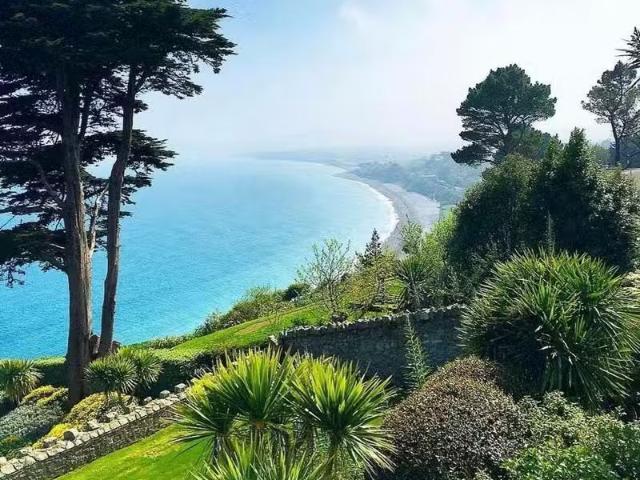 Well in RathmichaelWell · 430 yd
 Bawn in RathmichaelBawn · 442 yd
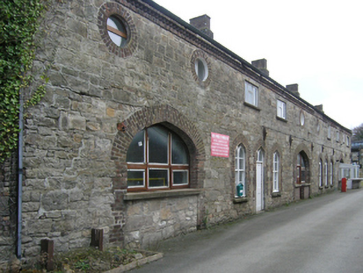 Ballycorus Lead Worksbuilding misc · 695 yd
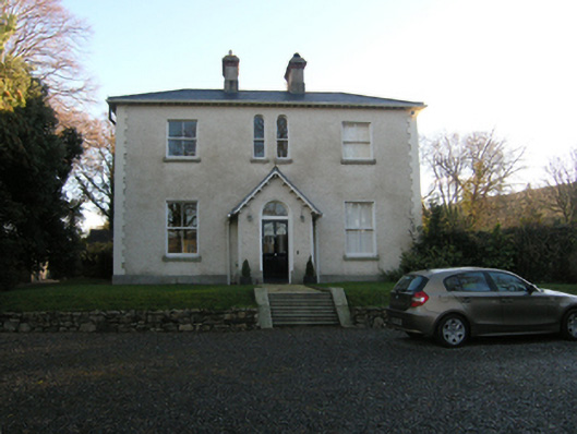 Ballycorus Grangehouse · 751 yd
 Rathmichael WalkWalking route · 854 yd
 Dingle GlenNature reserve · 1615 yd
 Barnaslingan - Scalp Lookout TrailWalking route · 1.0 mi
 Carrickgollogan HillMountain / peak · 1.1 mi
 Barnaslingan HillMountain / peak · 1.2 mi
 Loughlinstown WoodsNature reserve · 1.6 mi
Other information
Photo: Credit not shown in the picture search · Rights wording not checked; contact us if this picture should be removed