
What is recorded here
This fulacht fia is located in flat terrain immediately W of a small stream. Archaeological excavations of the site in 2000 revealed a spread of burnt material (L 17m, Wth 7m) containing shattered stone and charcoal interpreted as the remains of a D-shaped mound. This flanked the N and W sides of a sub-rectangular pit cut into boulder clay (L 2.3m, Wth 1.8m) which formed the trough. Two post-holes were uncovered in the floor of the trough and postholes thought to be the remains of sheltering screens or meat storage were found to the W. The only find was a worn flint flake with possible indications of re-touching (Clinton, 2002, 106-8). The location of this site has not been precisely located.
Compiled by: Geraldine Stout and Padraig Clancy.
Revised upload on: 26 May 2018.
The monument record does not grant public access. Check the route and ask the landowner before entering private land.
- What survives
- Recorded monument
Places near here
 Fulacht fia in RathmichaelFulacht fia · 136 yd
 Puck's CastleCastle · 513 yd
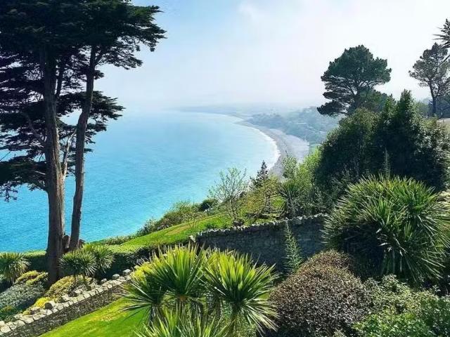 Well in RathmichaelWell · 532 yd
 Bawn in RathmichaelBawn · 544 yd
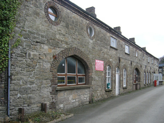 Ballycorus Lead Worksbuilding misc · 642 yd
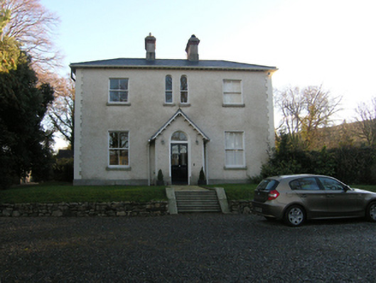 Ballycorus Grangehouse · 749 yd
 Rathmichael WalkWalking route · 951 yd
 Dingle GlenNature reserve · 1519 yd
 Barnaslingan - Scalp Lookout TrailWalking route · 1.1 mi
 Carrickgollogan HillMountain / peak · 1.1 mi
 Barnaslingan HillMountain / peak · 1.2 mi
 Loughlinstown WoodsNature reserve · 1.5 mi
Other information
Photo: Credit not shown in the picture search · Rights wording not checked; contact us if this picture should be removed