What is recorded here
In a garden, on a gentle N-facing slope. This fulacht fia was discovered in 1974 during development work when some burnt material and a plank-built trough were exposed (Ryan 1976, 11-15). According to local information, a small low mound existed on the site prior to its being levelled. There are no visible remains of this fulacht fia.
Compiled by: Elizabeth Byrne, Ursula Egan and Sheila Ronan, Archaeological Survey Unit, University College, Cork.
Date of upload: 31 January 2011
This remains an important historical record, but the official description says the monument is no longer visible or has been destroyed. The monument record does not grant public access. Check the route and ask the landowner before entering private land.
- What survives
- No visible remains or recorded as destroyed
Places near here
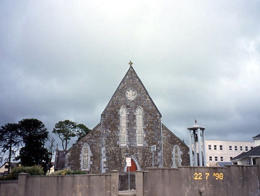 Saint Joseph's Catholic Churchchurch/chapel · 694 yd
 Ballycullane Br.Bridge · 714 yd
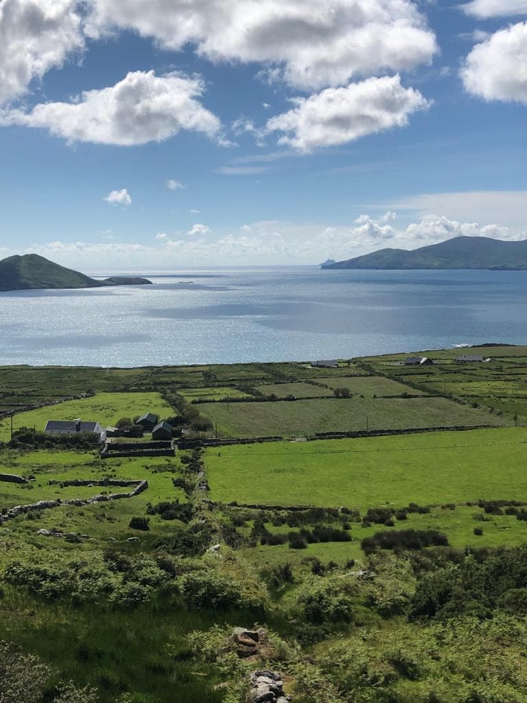 Enclosure in Rath More (magunihy By., Rathmore Ed)Enclosure · 823 yd
 Burnt spread in IslandearaghBurnt spread · 1669 yd
 Nohaval WoodWood · 1.7 mi
 Caherbarnagh NW TopMountain / peak · 4.0 mi
 BarraduffMemorial · 4.3 mi
 CaherbarnaghMountain / peak · 4.4 mi
 Barna BogForest · 5.7 mi
 Killaha Castle (in Ruins)Castle, tower house · 7.5 mi
 Lissivigeen Stone CircleHeritage attraction · 9.6 mi
 Mass RockNamed rock · 9.6 mi