What is recorded here
In the 1940s a fulacht fia, which measured '20-30 feet [6.09-9.1m] long, 1.5 feet [0.45m] wide' but had been 'removed for tillage purposes' was recorded in Patrick Cahill's land (Schools Manuscript, Co. Kerry). It has not been precisely located.
Compiled by: Elizabeth Byrne, Ursula Egan and Sheila Ronan, Archaeological Survey Unit, University College, Cork.
Date of upload: 31 January 2011
The monument record does not grant public access. Check the route and ask the landowner before entering private land.
- What survives
- Recorded monument
Places near here
 LisheengarrivFairy fort / earthen ringfort · 436 yd
 IndicatedFairy fort / earthen ringfort · 808 yd
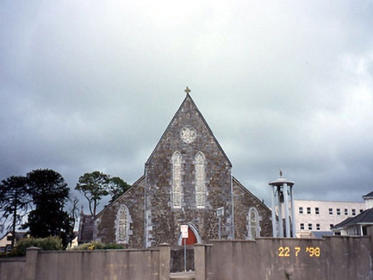 Saint Joseph's Catholic Churchchurch/chapel · 1688 yd
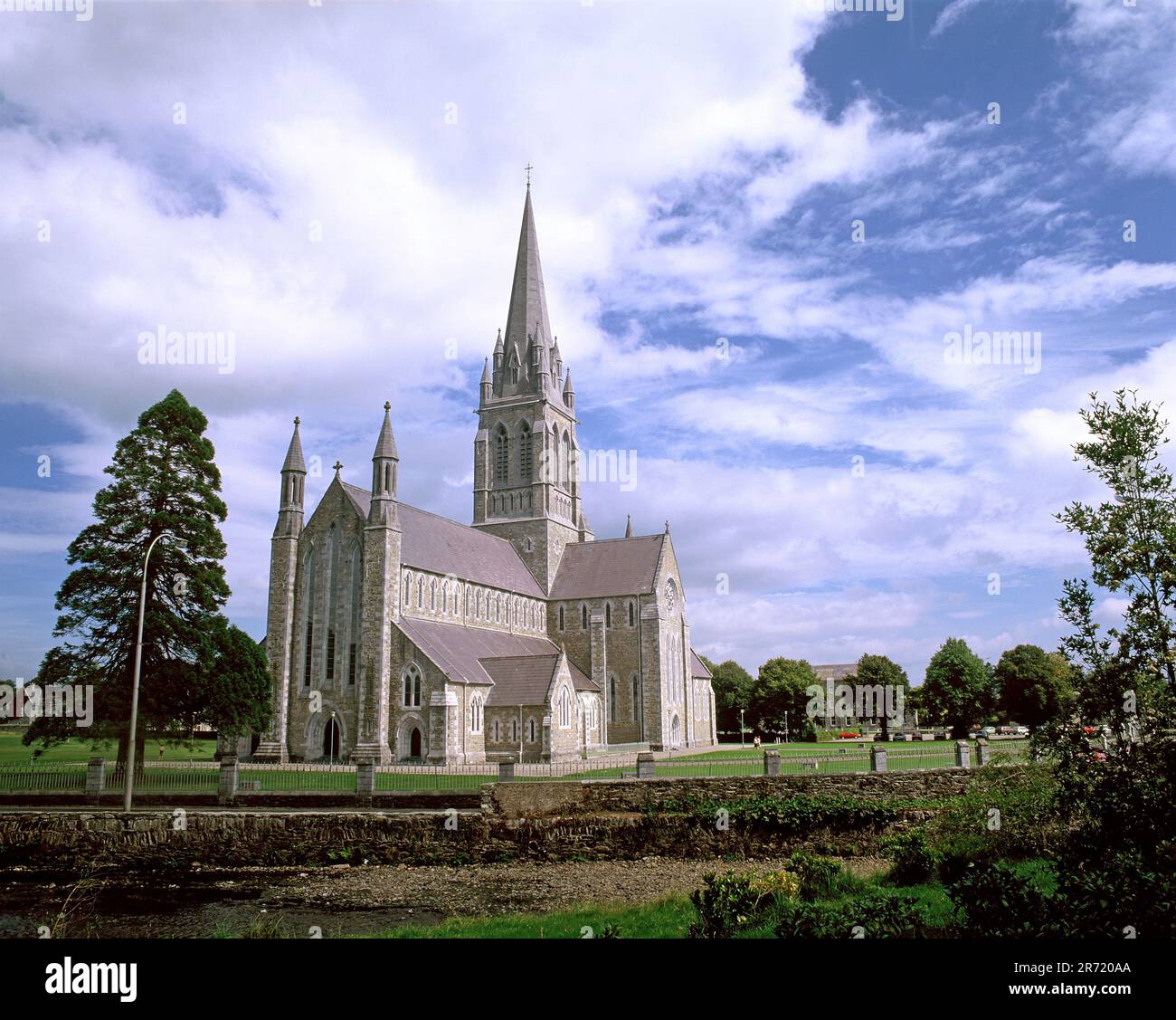 Cullavaw Br.Bridge · 1738 yd
 Nohaval WoodWood · 2.4 mi
 Caherbarnagh NW TopMountain / peak · 3.1 mi
 CaherbarnaghMountain / peak · 3.5 mi
 BarraduffMemorial · 4.2 mi
 Barna BogForest · 6.7 mi
 Killaha Castle (in Ruins)Castle, tower house · 7.1 mi
 Lissivigeen Stone CircleHeritage attraction · 9.6 mi
 Mass RockNamed rock · 9.7 mi