What is recorded here
Situated on a fairly level landscape. Archaeological monitoring (98E0352) by Donald Murphy of topsoil removal in the N borrowing area of a mining development identified four spreads of burnt mound material and other features that were completely excavated by the same archaeologist under the same license (excavations.ie 1999:708). Area 2 consisted of a narrow spread of broken and burnt stone (dims 12m N-S; 4m E-W; max. T 0.28m) within a hollow cut into the boulder clay. A rectangular trough (dims 2.5m; 1.1m; D 0.44m) filled with black charcoal-rich silt and burnt mound material had a single wooden plank (dims 1.4m x 0.32m) on its base. A circular pit (diam. 1.2m; D 0.28m) filled with natural till and some burnt stone was just SW of the mound. No artefacts were recovered. (Murphy 1999, 7-8)
See the attached site plan from Murphy (1999, fig. 7)
Compiled by: Michael Moore
Date of upload: 24 March 2023
Murphy, Donald 1999 Report on Archaeological Excavation at Randalstown, Co. Meath. Licence: 98E0352 ext. Unpublished report, Archaeological Consultancy Services
The monument record does not grant public access. Check the route and ask the landowner before entering private land.
- What survives
- Recorded monument
Places near here
 Randalstown HseCastle, unclassified · 946 yd
 St. Annes ChapelChurch · 1437 yd
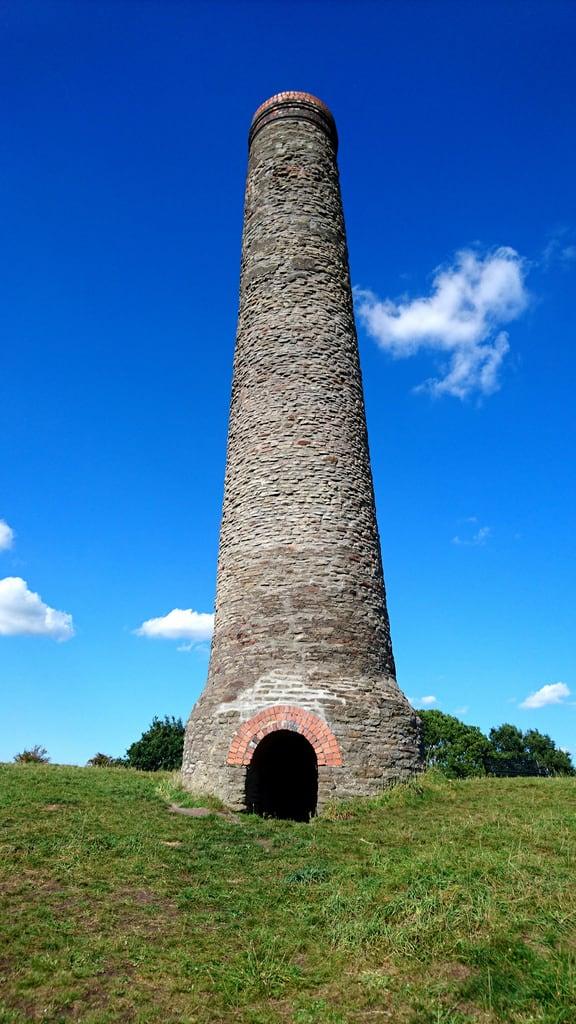 St. Annes WellHoly well · 1524 yd
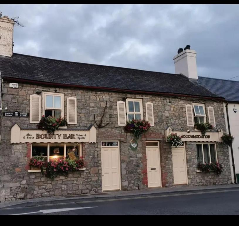 ToberdoneyHoly well · 1.2 mi
 Old ChurchChurch · 1.6 mi
 Liscartan CastleCastle, tower house · 1.9 mi
 Nangle CourtMemorial · 2.1 mi
 Gibbstown House EntranceWood · 2.2 mi
 Donaghmore Round TowerHeritage attraction · 2.6 mi
 Blackcastle DemesneWood · 2.8 mi
 Mullagha HillMountain / peak · 3.6 mi
 Faughan HillMountain / peak · 4.0 mi