
What is recorded here
Situated on a rise in a fairly level landscape with the small NNE SSW Yellow River c. 80m to the W. A chalice in the National Museum of Ireland which was made in 1637 has an inscription proclaiming ‘for the use of St. Anne’s of Randalstown’ (Kelly 1973, 10). A church is not recorded on the Down Survey (1656-8) barony or parish maps at Randalstown, and it is not recorded in the visitations of Ussher (1622) or Dopping (1682-5) (Erlington 1847-64, 1, lxxxvii-xci; Ellison 1973 7-9), so it may have been a private chapel that was destroyed in the Cromwellian period as local tradition maintains (Kelly 1973, 11). According to the Civil Survey (1654-6) 290 acres of Randalstown were owned by John Everard in 1640 (Simington 1940, 295), and the family recovered their estate and held it into the 20th century (Kelly 1973, 11).
The foundations of a rectangular building (int. dims c. 8m E-W; c. 3m N-S) defined by featureless masonry walls (T 0.6m; max. H 1.5m) survive, with an underground crypt (int. dims 3m x 2.75m) in the interior approached by steps from the E (ibid. 8). The church is situated on a circular mound (diam. 30m; H 1.5m) which is of artificial construction and from which at least twenty inhumations, probably associated with the church, were recovered in excavation (E000149) in 1975-6 by E. P. Kelly (1976) and 1980-1, but there is no enclosed graveyard (SMR file). The enclosure (ME025-002---) pre-dates the church, and St. Anne’s Well (ME025-045----) is c. 70m to the SW.
The above description is derived from the published 'Archaeological Inventory of County Meath' (Dublin: Stationery Office, 1987). In certain instances the entries have been revised and updated in the light of recent research.
Compiled by: Michael Moore
Date of upload/revision: 27 June, 2014
St. Annes Chapel in Randalstown was likely built in the early 17th century, possibly by a local Catholic family, given the context of religious persecution at the time. Its dedication to St. Anne reflects the survival of Catholic devotional practices, and the 1637 chalice inscription confirms its historical and religious significance.
This remains an important historical record, but the official description says the monument is no longer visible or has been destroyed. The monument record does not grant public access. Check the route and ask the landowner before entering private land.
- What survives
- No visible remains or recorded as destroyed
Places near here
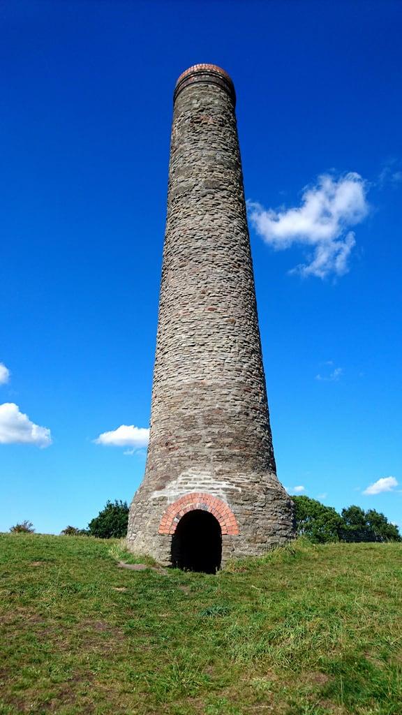 St. Annes WellHoly well · 88 yd
 Randalstown HseCastle, unclassified · 557 yd
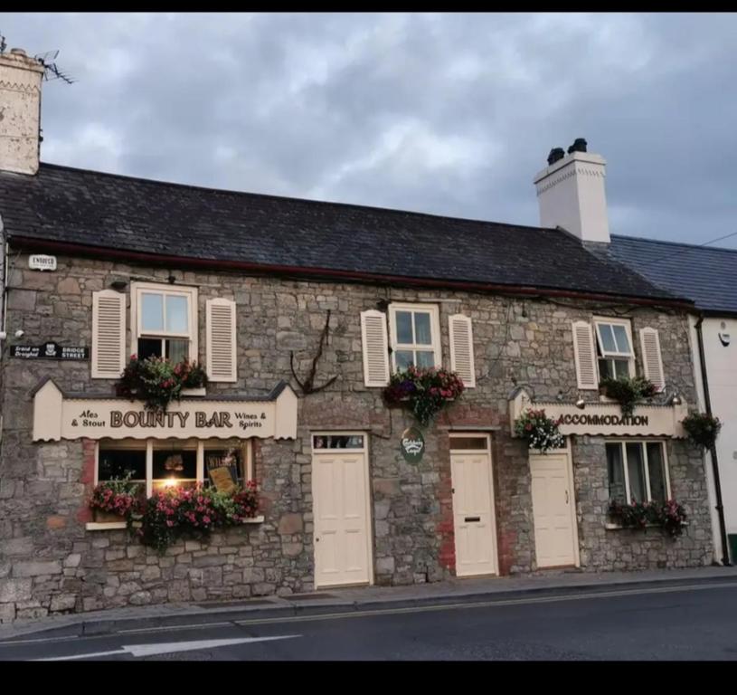 ToberdoneyHoly well · 936 yd
 Church (in Ruins)Church · 1.2 mi
 Liscartan CastleCastle, tower house · 1.2 mi
 sexton's housesexton's house · 1.5 mi
 Nangle CourtMemorial · 2.0 mi
 Gibbstown House EntranceWood · 2.1 mi
 Donaghmore Round TowerHeritage attraction · 2.9 mi
 The RampartWood · 3.0 mi
 Faughan HillMountain / peak · 3.2 mi
 BohermeenMountain / peak · 3.2 mi
Other information
Photo: Credit not shown in the picture search · Rights wording not checked; contact us if this picture should be removed