What is recorded here
In low-lying marshy land c. m to the N of a stream. On inspection in October 1982 this fulacht fia consisted of two low mounds, c. 2.6m apart, composed of black earth and burnt stone. The N mound (7.5m E-W) was more clearly defined than the S one (5m E-W). Current OSi aerial imagery suggests that the monument was levelled when the nearby house was constructed. Two other fulachta fia (GA105-175---- and GA105-175002-) lay c. 20m to the N and c. 60m to the SW respectively.
Compiled by: Galway Archaeological Survey, UCG
Date of upload: 27 November 2019
The monument record does not grant public access. Check the route and ask the landowner before entering private land.
- What survives
- Recorded monument
Places near here
 Ritual siteRitual site, holy tree/bush · 632 yd
 Stone CrossCross · 869 yd
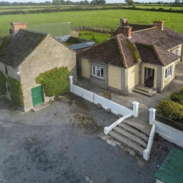 Ballingarry Ho.Country house · 882 yd
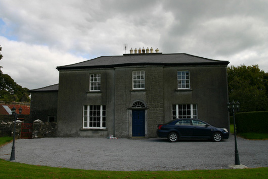 Millmount Househouse · 1016 yd
 CastleCastle, tower house · 1030 yd
 Site of Cloonoo CastleCastle, unclassified · 1.2 mi
 Blake's IslandIslet · 1.7 mi
 Ash IslandIslet · 1.8 mi
 Long PointHeadland · 2.6 mi
 Scalpeen RockNamed rock · 4.4 mi
 Turoe StoneHeritage attraction · 5.3 mi
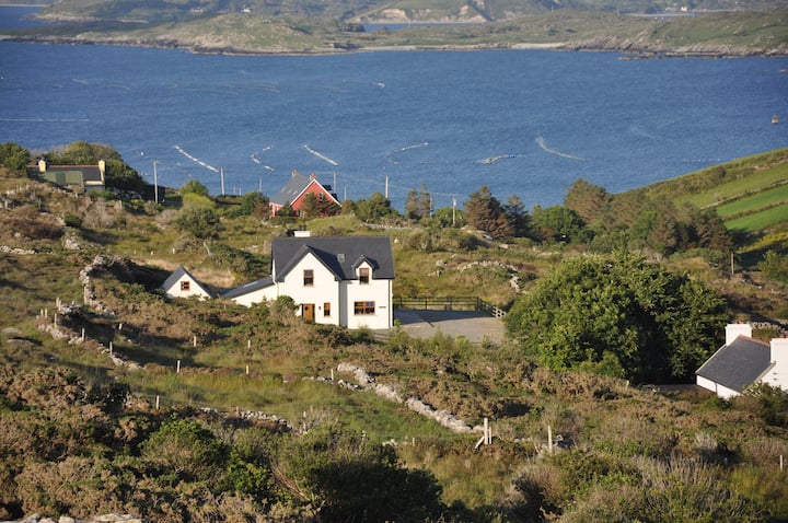 KnocknamonaMountain / peak · 7.9 mi