What is recorded here
Hot water hissed through bronze-age stones while people lived beside the trough. They may have cooked food, cleaned tools or prepared bodies for burial. The M3 motorway later crossed the field, but the hollow journal still holds its heat.
Situated in a gently undulating landscape. Archaeological testing (04E0926) by S. Keith (2005) at Testing Area 3 of Contract 4 of the M3 motorway identified a burnt mound (excavations.ie 2004:1311) that was partially excavated (E003127) by E. Lyne (2010) as Phoenixtown 6 in August 2006 (excavations.ie 2007:1372). An area of 800 square metres was opened revealing the burnt mound at the SW edge of the road-take.
The mound (dims 11m plus N-S; 8m plus E-W; T 0.1m) had a circular trough (diam. 1.85-2.1m; D 0.7m) with a flat base at its W edge. Attached to this at N was a triangular pit (dims 3.4m x 3.2m; max. D 0.3m) that was truncated at N but had an apex at the lip of the trough and was probably a drainage channel. About 2m to the NW a rectangular trough (dims 1.98m NW-SE; 0.51m NE-SW; D 0.39m) was cut by a post-medieval ditch at N and remains largely unexcavated in the baulk at SW. All these features were filled with broken and burnt stone. Samples of ash charcoal provided C14 dates of 1742-1617 cal. BC (UBA 11106) from the circular trough and 2119-1895 cal. BC (UBA 11108) from the rectangular trough, placing the monument in the Early Bronze Age. Outside the extent of the burnt mound a barbed and tanged arrowhead was found in a thin deposit, and a possible hearth (dims 0.95m x 0.8m; D 0.17m) filled with a light brown/grey silty clay yielded a C14 date of 3770-3654 cal. BC (UBA 11107) from a hazelnut shell, placing that feature in the Early Neolithic. (Lyne 2010, 5-7)
See the attached plan from Lyne (2010, fig. 5)
Compiled by: Michael Moore
Date of upload; 23 March 2022
The monument record does not grant public access. Check the route and ask the landowner before entering private land.
- What survives
- Recorded monument
Places near here
 IndicatedHoly well · 374 yd
 CrossCross, Wayside cross · 1253 yd
 Faughan HillMountain / peak · 1565 yd
 Church in Grange (navan Lower By.)Church · 1690 yd
 Laurel CoverWood · 1.0 mi
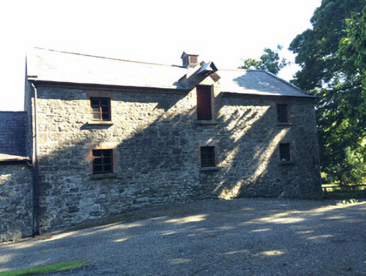 Martry Millmill (water) · 1.0 mi
 Newtown GroveWood · 1.2 mi
 BallybegMountain / peak · 1.5 mi
 The New Line RoadMemorial · 2.2 mi
 Castle ruinsCastle · 3.4 mi
 Saint John's CemeteryMemorial · 4.4 mi
 FarmaphobiaHeritage attraction · 5.1 mi