What is recorded here
Hot water hissed through Phoenixtown in 2500 BC, heating stones until they cracked and flew. People gathered there to cook, clean cloth or prepare food, using the mound as a kitchen for the village. The heat was so great that sand fused into glass, proving the fire raged beyond ordinary cooking. When the motorway survey opened the ground in 2006, the ancient kitchen reappeared beneath the grass, still proud in its ordinary field.
Situated in a gently undulating landscape. Archaeological testing (04E0926) by S. Keith (2005) at Testing Area 3 of Contract 4 of the M3 motorway identified a burnt mound (excavations.ie 2004:1311) that was excavated (E003128) by E. Lyne (2010) as Phoenixtown 1 in August-September 2006 (excavations.ie 2007:1261). An area of 4500 square metres was opened revealing an isolated group of pits with Neolithic pottery and the burnt mound with associated features.
The mound (max. dims 19.75m WNW-ESE; 9.25m; T 0.3m) consisted of a black silty clay with stones. Charcoal from it was vitrified, indicating that it had burnt at a very high temperature. A circular trough (diam. 1.48-1.54m; D 0.55m) with a fill of black sandy silt that had stone inclusions was just N of the mound. A subrectangular trough (dims 2.44m x 1.31m; D 0.1m) was beneath the SW edge of the mound and had stakeholes in the three surviving corners. Five postholes, perhaps forming a circular structure (dims 2.25m N-S; 2m E-W), were sealed by the mound. A sample of hazel charcoal from one of the postholes returned a C14 date of 1408-1269 cal. BC (UBA 11102). There were eleven pits (dims 0.8m x 0.6m; D 0.13m to dims 2.9m x 1.87m; D 0.42m) beneath the mound, and the largest at the S edge of the mound had a gully (L 1.1m) extending SW from it that connected with another smaller pit and may have been used to collect water. A sample of alder charcoal from a pit at the E edge of the mound yielded a C14 date of 2559-2300 cal. BC (UBA 11103).
Eleven pits and some stakeholes were not sealed by the mound but the pits were of similar dimensions to those beneath it and were filled for the most part with material from the mound. A sample of ash charcoal from a pit NW of the mound provided a C14 date of 2457-2205 cal. BC (UBA 11104). The stakeholes formed a rough E-W line (L c. 3m) and may have sheltered a four-post structure that was just to its SW. A post-medieval drain (Wth 3m; D 0.15m), or perhaps a path, skirts the S edge of the mound. (Lyne 2010, 5-14)
See the attached plan from Lyne (2010, fig. 5)
Compiled by: Michael Moore
Date of upload: 23 March 2022
The monument record does not grant public access. Check the route and ask the landowner before entering private land.
- What survives
- Recorded monument
Places near here
 IndicatedHoly well · 475 yd
 CrossCross, Wayside cross · 1109 yd
 Laurel CoverWood · 1673 yd
 Faughan HillMountain / peak · 1696 yd
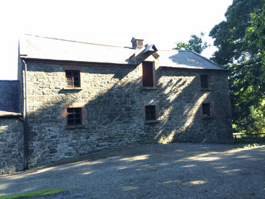 Martry Millmill (water) · 1.0 mi
 Church in Grange (navan Lower By.)Church · 1.0 mi
 Newtown GroveWood · 1.1 mi
 BallybegMountain / peak · 1.4 mi
 The New Line RoadMemorial · 2.3 mi
 Castle ruinsCastle · 3.4 mi
 CastleCastle, motte · 3.8 mi
 Saint John's CemeteryMemorial · 4.3 mi