What is recorded here
Meltwater and steam rose through wet Kerry grass while people cooked meat or heated baths beside Nohaval South. The black soil and shattered stone now hidden inside a field boundary preserve the violence of that heat. A church enclosure may have grown around the memory, turning an ordinary cooking pit into a marker for later belief.
Fulacht fia described by O'Hare (2000, 87) as follows; 'While inspecting the field boundary which may have formed part of the perimeter of the possible church (KE039-014001-) enclosure (KE039-014004-), the author noted a deposit of very black soil and shatter stone which was incorporated into it. It appears likely therefore, that a fulacht fiadh was located on or near this spot. The surrounding land is level and supports wet pasture'.
Compiled by: Caimin O'Brien
Date of upload: 3 June 2022
The monument record does not grant public access. Check the route and ask the landowner before entering private land.
- What survives
- Recorded monument
Places near here
 Nohaval Church (in ruins)Church · 299 yd
 Enclosure in Ballyegan (trughanacmy By.)Enclosure · 729 yd
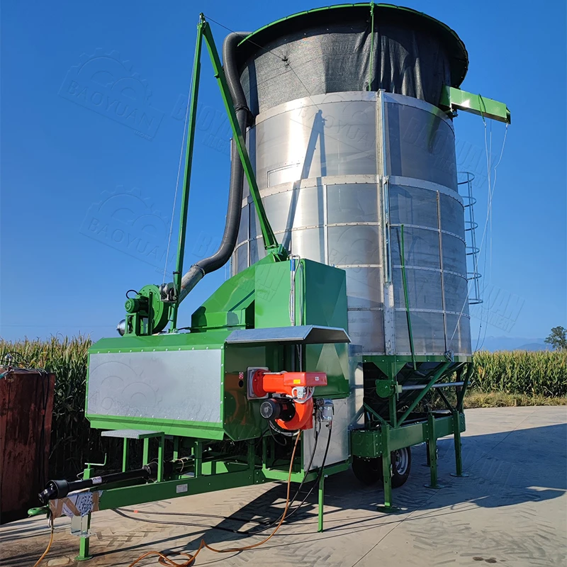 KilnKiln, corn-drying · 1049 yd
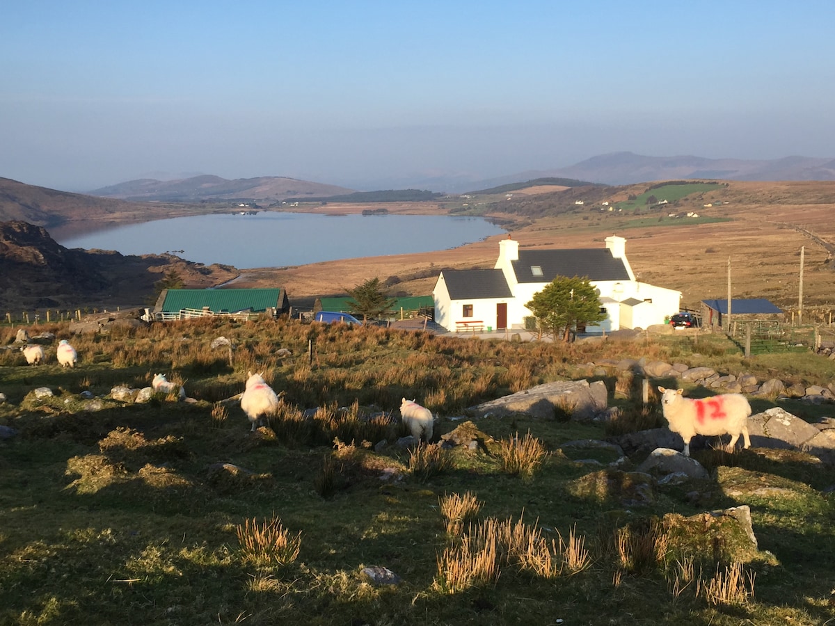 Hut site in Garraun MoreHut site · 1755 yd
 (Site of) Desmond CastleCastle, unclassified · 1.7 mi
 Site of Rockfield Ho.Castle, unclassified · 1.9 mi
 Crag CaveCave · 3.4 mi
 PouldermotCave · 3.8 mi
 Common AlderCommon Alder · 4.9 mi
 Ballincollig HillMountain / peak · 4.9 mi
 Stack's MountainMountain / peak · 5.3 mi
 Ballygamboon Forest Recreation AreaWood · 7.0 mi