What is recorded here
In the mid-1960's, during land reclamation works, a wooden trough and burnt stone were discovered and reburied (SMR file). On level, wet, rushy, rough pasture c. 400m S of the W-flowing Slate River and immediately N of the Grand Canal (Athy Branch). A large, poorly preserved, low, grass-covered, sub-circular mound (diams. 27.5m NE-SW; 25.5m NW-SE; H 0.2-0.8m) is girdled by a broad, wet and poached band of slightly lower ground (Wth 2-6m; D 0.2m) NNE-S-NW, which runs off to the N and NW and may be a relict meander of a dried up stream.
Compiled by: Gearóid Conroy
Date of upload: 10 June 2011
The monument record does not grant public access. Check the route and ask the landowner before entering private land.
- What survives
- Recorded monument
Places near here
 Enclosure in MountprospectEnclosure · 352 yd
 Offaly CastleCastle, tower house · 452 yd
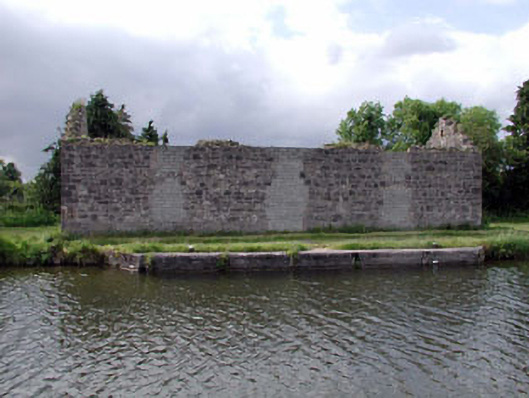 store/warehousestore/warehouse · 836 yd
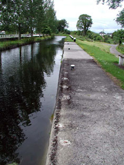 gates/railings/wallsgates/railings/walls · 843 yd
 Burial in Kilnantoge UpperBurial · 854 yd
 Site of CastleCastle, tower house · 1120 yd
 Community OrchardNature reserve · 1281 yd
 Bithia Mary CrokerMemorial · 1493 yd
 Killinthomas Wood (Rathangan)Wood · 2.1 mi
 Sli na Slainte - mapVisitor information · 4.7 mi
 The Fairy BowerHeritage attraction · 4.7 mi
 Lullymore Heritage ParkHeritage attraction · 4.7 mi