What is recorded here
On a very gentle W-facing slope c. 15m E of Lough Luirk. Indicated on Robinson’s map (1997). A largely levelled subcircular spread of burnt stone (14.5m E–W; 13.5m N–S) delimited to the N by a later field wall against which boulders and cleared field stones are dumped.
Compiled by: Mary Tunney and Ros Ó Maoldúin
Date of upload: 15 December 2020
The monument record does not grant public access. Check the route and ask the landowner before entering private land.
- What survives
- Recorded monument
Places near here
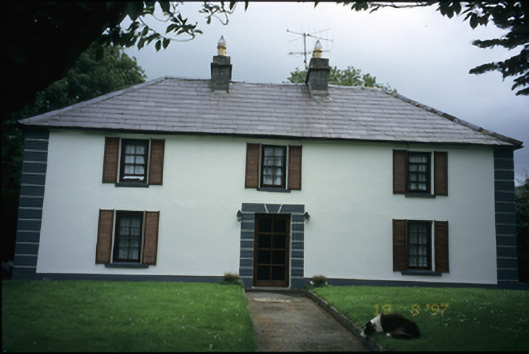 Abbey Househouse · 253 yd
 Fairy fort / earthen ringfort in Abbey WestFairy fort / earthen ringfort · 814 yd
 Battle of Lough Raskabattle · 1112 yd
 Muckinish Castle (in ruins)Castle, tower house · 1395 yd
 Corcomroe Abbey Geopark SiteVisitor information · 1702 yd
 Corcomroe AbbeyVisitor information · 1705 yd
 Corcomroe Abbey (in ruins)Religious house, Cistercian monks · 1741 yd
 TobersheelaHoly well · 1757 yd
 Moneen MountainMountain / peak · 1.0 mi
 Saint Patrick's ChurchHeritage attraction · 1.3 mi
 Turlough HillMountain / peak · 1.5 mi
 Castle Mael (in ruins)Castle, unclassified · 1.7 mi