What is recorded here
In low-lying terrain, on the margin of seasonally flooded wetland or former lake edge, excavated in advance of construction of the N8 Cashel Bypass and N74 Link Road South. An oval-shaped pit or trough (dims. 1.9m x 1.6m; D 0.2m) with sides sloping gradually to an irregular but roughly flat base. The pit was filled with a blackish-brown clay with decayed and burnt sandstone and charcoal inclusions. A spread (L 2.64m; D 0.12m; dims. 1.3m x 1.1m; D 0.08m) of similar material were found c. 3m to the W and c. 8m to the N of this pit respectively. (Hughes and O'Flanagan 2003, 12-13, 29, 31). A ring-ditch (TS061-161----) was excavated c. 50m to the W and a number of pits and post-holes (TS061-170----), including one containing Bronze Age pottery, were excavated within an area c. 50m to W and SW.
Compiled by: Jean Farrelly
Date of upload: 26 August 2011
The monument record does not grant public access. Check the route and ask the landowner before entering private land.
- What survives
- Recorded monument
Places near here
 Ballyknock HillMountain / peak · 799 yd
 Habitation site in BoscabellHabitation site · 900 yd
 Enclosure in BallyknockEnclosure · 1068 yd
 Gortmakellis CastleCastle · 1599 yd
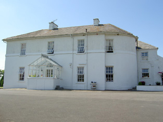 Hill Househouse · 1.2 mi
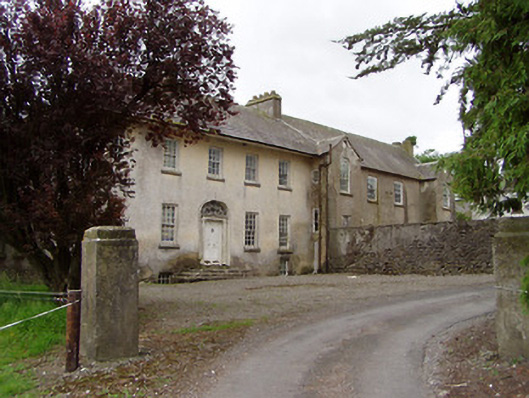 Meldrum Housecountry house · 1.2 mi
 Meldrum Castle (ruins)Castle · 1.5 mi
 The Rock Of CashelVisitor information · 1.5 mi
 Cormac's ChapelHeritage attraction · 1.5 mi
 Rock of CashelHeritage attraction · 1.5 mi
 Black mulberryBlack mulberry · 1.6 mi
 Dundrum Woods (Marl Bog)Forest · 8.6 mi