What is recorded here
Situated on a gentle W-facing slope. U-shaped, grass-covered mound of broken and burnt stones (Wth of mound 3-6m; H 0.8m: overall dims. 11m NE-SW; 10.5m NW-SE) with a distinct trough area (dims. 5m x 4m) open to the SW.
The above description is derived from the published 'Archaeological Inventory of County Waterford' (Dublin: Stationery Office, 1999). In certain instances the entries have been revised and updated in the light of recent research.
Date of upload/revision: 23 December 2008
The monument record does not grant public access. Check the route and ask the landowner before entering private land.
- What survives
- Recorded monument
Places near here
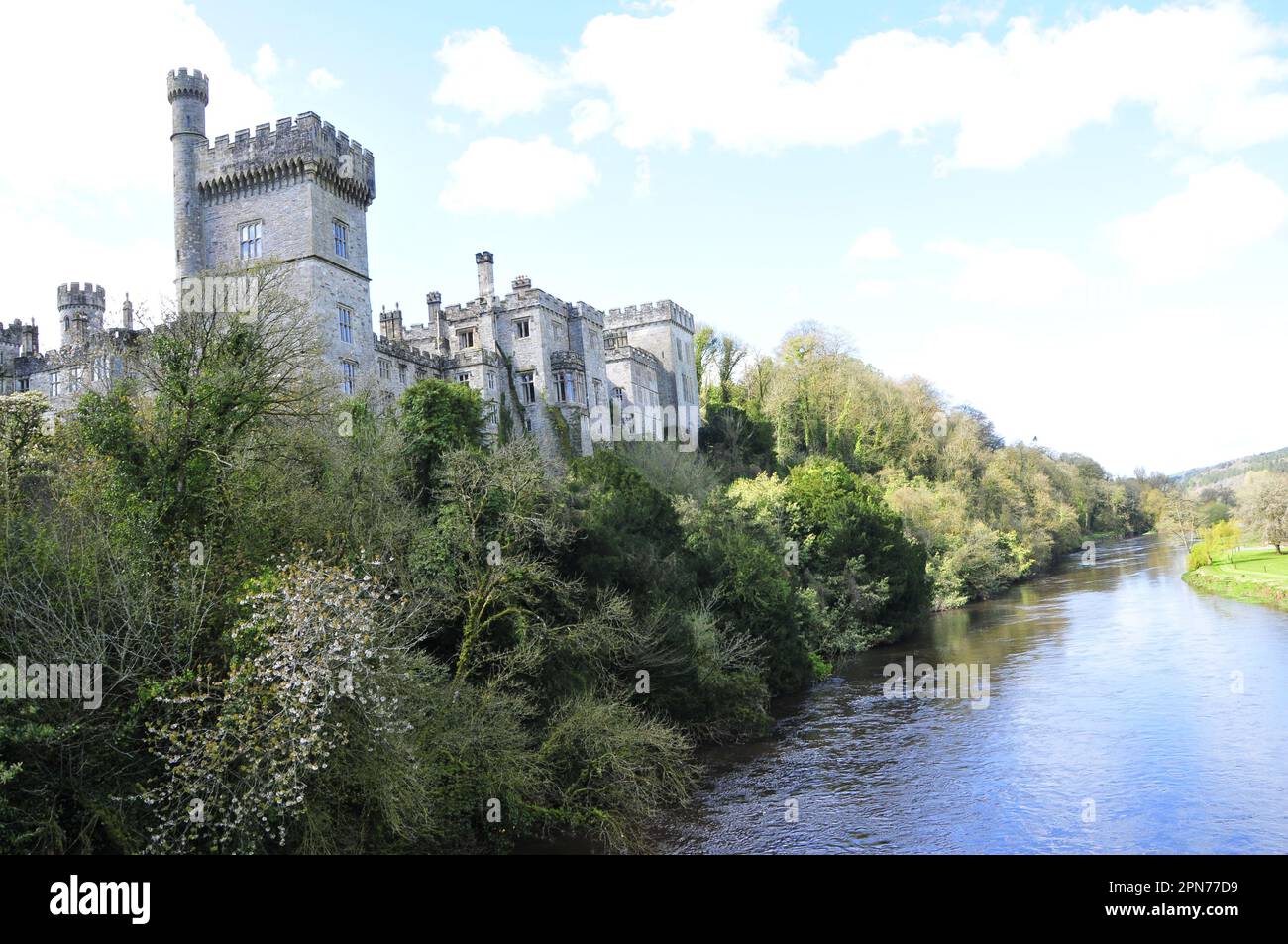 Cill (Site of)Enclosure · 753 yd
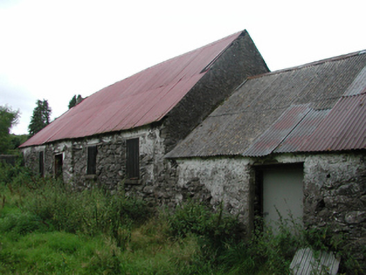 Nell's Cottagefarm house · 1151 yd
 IndicatedEnclosure · 1451 yd
 CillChurch · 1541 yd
 Milk HillMountain / peak · 1.5 mi
 Siglloges LoopWalking route · 1.6 mi
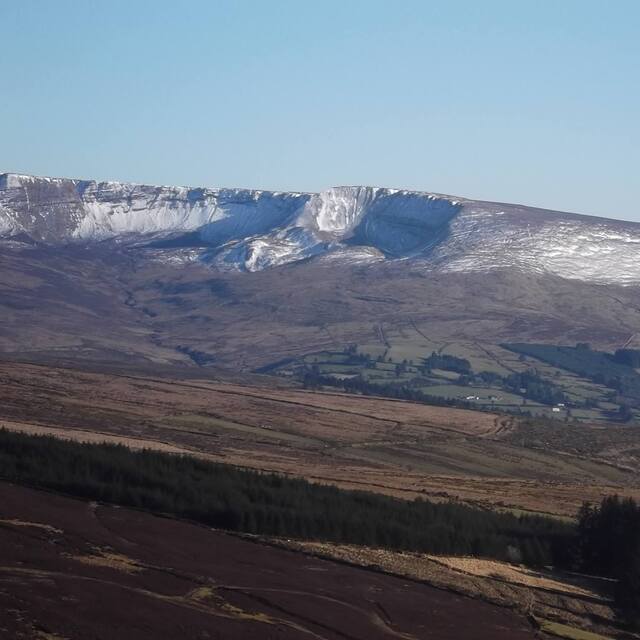 Coumfea West TopMountain / peak · 1.8 mi
 Coumlara LoopWalking route · 1.8 mi
 Knocknaree WoodForest · 2.0 mi
 Turraphuca WoodForest · 2.4 mi
 Mahon ValleyCliff · 2.7 mi
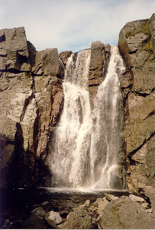 Mahon FallsWaterfall · 3.3 mi