What is recorded here
Situated in a tract of wet, level pasture traversed by modern drains. Low crescent-shaped rise (15m ENE-WSW; 10m NNW-SSE; H 0.45m) composed of shattered stone in a charcoal-rich soil, with a depression at SSE indicating the probable location of a trough. There is a possible burnt mound (SL019-233) c. 100m to N.
Compiled by: Jane O'Shaughnessy
Date of upload: 12 May 2011
The monument record does not grant public access. Check the route and ask the landowner before entering private land.
- What survives
- Recorded monument
Places near here
 Valley WoodForest · 378 yd
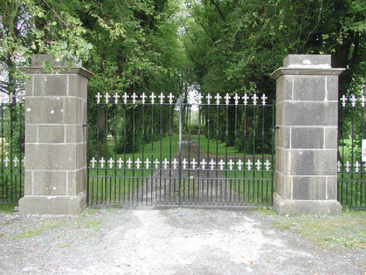 Longford Housegates/railings/walls · 726 yd
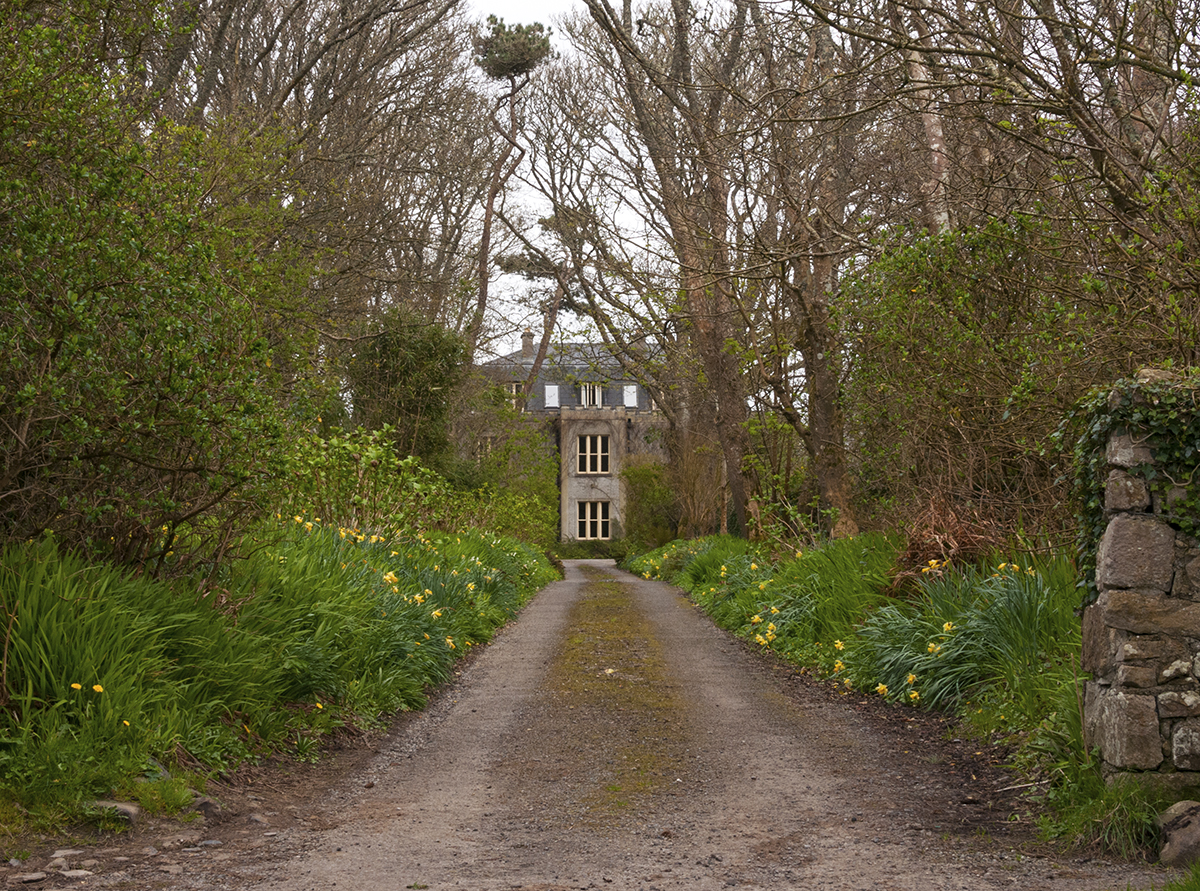 Man-made underground passage in CarrowardMan-made underground passage · 749 yd
 Enclosure in Longford DemesneEnclosure · 768 yd
 Bawn in Longford DemesneBawn · 840 yd
 Pigeonpark WoodForest · 887 yd
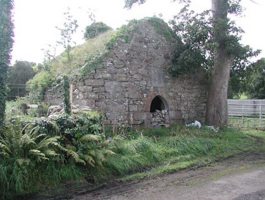 forge/smithyforge/smithy · 1043 yd
 Giant's GraveArchaeological place · 1.6 mi
 CloonaghMountain / peak · 1.7 mi
 CastleCastle, ringwork · 2.5 mi
 Lahanacappul IslandIslet · 2.7 mi
 Ballinlig PointHeadland · 2.9 mi