What is recorded here
In a broad expanse of wet pasture, located on the N bank of a stream, close to a bend in the course of the stream. There is rising ground to NE.
Oblong mound (14m E–W; c. 8m N–S; H 0.6m at E, 1m at W) composed of heat-shattered stone in a matrix of charcoal-rich soil. There is a hollow (diam. 2m) on the SSW side of the mound, facing the stream, marked by damp, grass-covered ground, which may indicate the position of the trough. The mound is overlain by a layer of peaty soil covered by scrubby grass and heather.
Compiled by: Jane O’Shaughnessy
Date of upload: 22 June 2021
The monument record does not grant public access. Check the route and ask the landowner before entering private land.
- What survives
- Recorded monument
Places near here
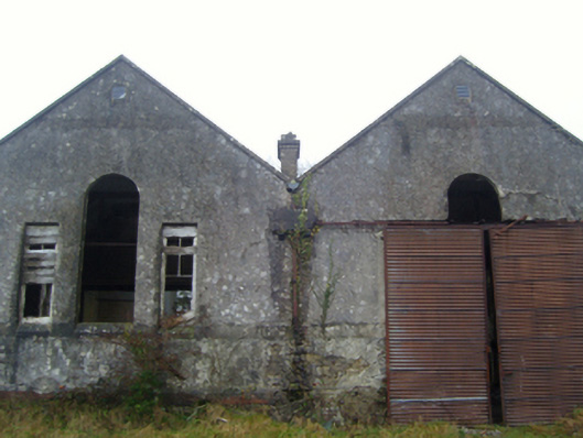 Lisduff National Schoolschool · 841 yd
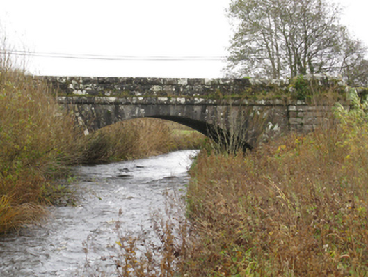 bridgebridge · 970 yd
 CrossCross · 1.3 mi
 Thorn CaveCave · 1.5 mi
 I'll Send You The FareMemorial · 2.0 mi
 Kiltimagh MuseumMuseum · 2.0 mi
 Carrowbeg WoodWood · 4.0 mi
 CashlankeeghCastle, unclassified · 4.1 mi
 Brabazon WoodsForest · 4.7 mi
 Youth Memorial GardenMemorial · 4.9 mi
 Castle in ruinsCastle, tower house · 4.9 mi