What is recorded here
Discovered during monitoring of ground works in 2002 (Excavation Licence 02E0013). A semi-circular spread (11m x 5m) of burnt stones mixed with charcoal stained soil was exposed. The full extent was not established and it was not excavated as there was no further impact on it from the development. (O' Carroll 2002, 3-4)
Reference:
O'Carroll, F. 2002 Report on archaeological monitoring in advance of the proposed development at Roosky, Carlingford, Co. Louth. Unpublished archaeological report. National Monuments Section, Department of Arts, Heritage and the Gaeltacht, Dublin.
Compiled by: Claire Breen
Date of upload: 8 March 2012
The monument record does not grant public access. Check the route and ask the landowner before entering private land.
- What survives
- Recorded monument
Places near here
 Priory (in Ruins)Religious house, Knights Templars · 91 yd
 Holy well in Liberties OF CarlingfordHoly well · 498 yd
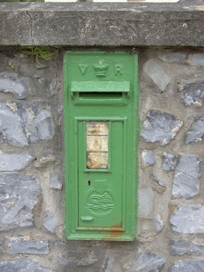 post boxpost box · 761 yd
 IndicatedFairy fort / earthen ringfort · 880 yd
 Carlingford - Loop 1A- Commons LoopWalking route · 1067 yd
 Graveyard in Liberties OF CarlingfordGraveyard · 1189 yd
 Carlingford Heritage CentreVisitor information · 1200 yd
 Town GateHeritage attraction · 1256 yd
 Carlingford Ogham StoneMemorial · 1284 yd
 BarnavaveMountain / peak · 1311 yd
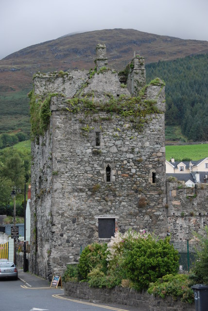 Taaffe's CastleCastle · 1377 yd
 Leprechauns caveCave · 1530 yd