What is recorded here
In improved pasture, flanked to immediate E and S by young forestry. Classic crescent shaped mound (overall dims. 17.15m ESE-WNW; 13.3m NNE-SSW) of heat shattered stone and black soil. An arm of the mound (Wth 7.55m; H 0.4m) to ESE and WNW is best preserved at rear (Wth 9.3m; H 0.7m) to NNE. The trough area (dims. c. 5m NNE-SSW; 4.9m ESE-WNW; Dth 0.6-0.95m) is open (Wth c. 5m) to SSW. The monument is truncated across E and S sectors by a field fence. According to local information a natural spring is close to SE, within forestry.
Compiled by: Jean Farrelly
Date of upload: 26 August 2011
The monument record does not grant public access. Check the route and ask the landowner before entering private land.
- What survives
- Recorded monument
Places near here
 Site of ChurchChurch · 495 yd
 Bawn in LismalinBawn · 1.0 mi
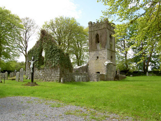 Lismalin Churchchurch/chapel · 1.1 mi
 Knockuragh HillMountain / peak · 1.2 mi
 IndicatedEnclosure · 1.2 mi
 Willmountoutbuilding · 1.3 mi
 (Site of) Drangan CastleCastle, unclassified · 1.7 mi
 Fenane WoodForest · 1.8 mi
 Eagle HillMountain / peak · 3.2 mi
 Silver FirSilver Fir · 3.9 mi
 Slieveardagh Heritage CentreVisitor information · 5.3 mi
 The SpoutMemorial · 5.9 mi