What is recorded here
In poorly drained area of rough pasture, to NW of stream, with a scarp (Wth 1.1m; H 0.4m) of the flood plain c. 8m to the N. The 2nd (1906) ed. OS 6-inch map depicts a spring rising from the area of the monument and flowing SSE to a stream. An overgrown crescent-shaped mound (dims. 9m N-S; 7m E-W; H 0.6m) with a depression (D c. 0.3m) facing W (Franc Myles pers. comm. 25-3-2010). Burnt stones were recovered from the mound when vegetation was cleared c. 1990 (ibid.).
Compiled by: Jean Farrelly
Date of upload: 26 August 2011
The monument record does not grant public access. Check the route and ask the landowner before entering private land.
- What survives
- Recorded monument
Places near here
 Site of ChurchChurch · 111 yd
 Knockuragh HillMountain / peak · 1668 yd
 Bawn in LismalinBawn · 1.3 mi
 IndicatedEnclosure · 1.4 mi
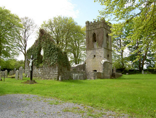 Lismalin Churchchurch/chapel · 1.4 mi
 (Site of) Drangan CastleCastle, unclassified · 1.4 mi
 Willmountoutbuilding · 1.4 mi
 Fenane WoodForest · 2.0 mi
 Eagle HillMountain / peak · 3.0 mi
 Silver FirSilver Fir · 3.8 mi
 Slieveardagh Heritage CentreVisitor information · 5.2 mi
 The SpoutMemorial · 5.9 mi