What is recorded here
In rough pasture, on a gentle SE-facing slope. A horseshoe-shaped mound (overall dims. 13.5m NE-SW; 10m NW-SE) of heat shattered stone and black soil. The mound (Wth 5.5m; H 0.5m) is best defined N-E-SE and is less defined (Wth 3m; H 0.3m) SE-W-NNW. The trough (dims. 5m NE-SW; 3m NW-SE; D 0.4m) within centre has a shallow opening (Wth 2.75m; D 0.1m) to NNW.
Compiled by: Jean Farrelly
Date of upload: 26 August 2011
The monument record does not grant public access. Check the route and ask the landowner before entering private land.
- What survives
- Recorded monument
Places near here
 Site of ChurchChurch · 1036 yd
 Bawn in LismalinBawn · 1384 yd
 IndicatedEnclosure · 1566 yd
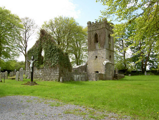 Lismalin Churchchurch/chapel · 1669 yd
 Willmountoutbuilding · 1.0 mi
 Knockuragh HillMountain / peak · 1.5 mi
 Crohane CastleCastle · 1.7 mi
 Fenane WoodForest · 2.0 mi
 Eagle HillMountain / peak · 3.2 mi
 Pedunculate OakPedunculate Oak · 3.9 mi
 Slieveardagh Heritage CentreVisitor information · 5.2 mi
 Killamery High CrossVisitor information · 6.5 mi