What is recorded here
Knockawinna held a tall fulacht fia until machines erased it in 1981. The loss is angry because the site still shows burnt red stone and dark soil under grass, proving heat and human activity once filled the place. A well sits to the northwest, suggesting the camp needed water for cooking, cleaning or drinking. The dyke on the east and the broad stone spread hint that this was not a casual fire but a worked landscape where people gathered, prepared food and shaped the land before forgetting it.
Levelled monument described in 1985 by the 'Castleisland District Archaeological Survey' as the 'site of a fulacht fiadh which was levelled in 1981. A well is situated to the northwest. According to the landowner it had stood to a height of 5 or 6 ft. [1.5-1.8m]. Dark burnt soil and burnt shattered red stone are still visible under a brownish cover of grass. The spread of material measures 13m from north to south, and 12m from east to west. The site is bordered by a dyke on the east' (SMR file).
Compiled by: Caimin O'Brien
Date of upload: 27 April 2022
The monument record does not grant public access. Check the route and ask the landowner before entering private land.
- What survives
- Recorded monument
Places near here
 Three CountiesPicnic place · 1487 yd
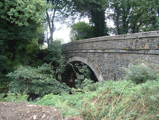 Breanagh Bridgebridge · 1675 yd
 Enclosure in AcresEnclosure · 1.0 mi
 KilnKiln, lime · 1.1 mi
 Fulacht fia in KnockcoolkeareFulacht fia · 1.2 mi
 Rock HillMountain / peak · 5.2 mi
 KnockateeMountain / peak · 5.4 mi
 Kilmurry CastleCastle · 7.5 mi
 Ardnacreach CastleCastle · 7.6 mi
 TobereenalaffinaSpring · 8.2 mi
 Saint Ite's WellSpring · 9.3 mi
 Crag CaveCave · 9.4 mi