
What is recorded here
In pasture, on a break in a NNW-facing slope. The monument, which is depicted as a kidney-shaped mound on the 1923 OS 6-inch map, has been levelled. However, it is now evident as a spread of burnt material covering a roughly oval-shaped area (25m E-W; 14m N-S).
Compiled by: Denis Power
Date of upload: 26 August 2011
The monument record does not grant public access. Check the route and ask the landowner before entering private land.
- What survives
- Recorded monument
Places near here
 Enclosure in AcresEnclosure · 571 yd
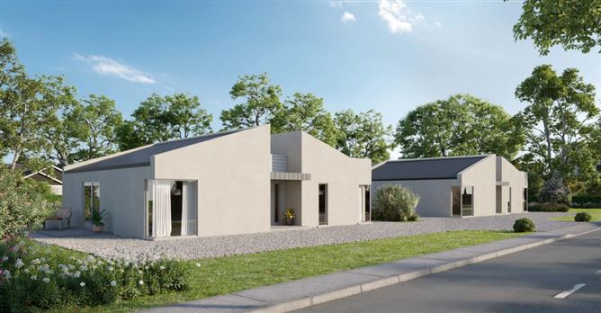 Enclosure in MountcollinsEnclosure · 1189 yd
 Mountcollins Bridgebridge · 1216 yd
 Three CountiesPicnic place · 1250 yd
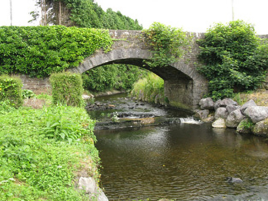 bridgebridge · 1281 yd
 Rock HillMountain / peak · 4.5 mi
 Barnagh HillMountain / peak · 5.4 mi
 TobereenalaffinaSpring · 7.0 mi
 Glenquin CastleCastle · 7.2 mi
 Purt CastleCastle · 7.5 mi
 Saint Ite's WellSpring · 8.2 mi
 Crag CaveCave · 10 mi
Other information
Photo: Credit not shown in the picture search · Rights wording not checked; contact us if this picture should be removed