What is recorded here
A spread of burnt material (3.7m E-W x 2.4m; max. D 0.15m) was excavated here in 2001 (Excavation Licence 01E0571) prior to the insertion of a Bord Gáis Éireann gas pipeline. A shallow pit was found under the spread and a second pit was uncovered upslope of it. (Ó Néill 2003, 422-3).
Compiled by: Claire Breen
Date of upload: 23 January 2013
The monument record does not grant public access. Check the route and ask the landowner before entering private land.
- What survives
- Recorded monument
Places near here
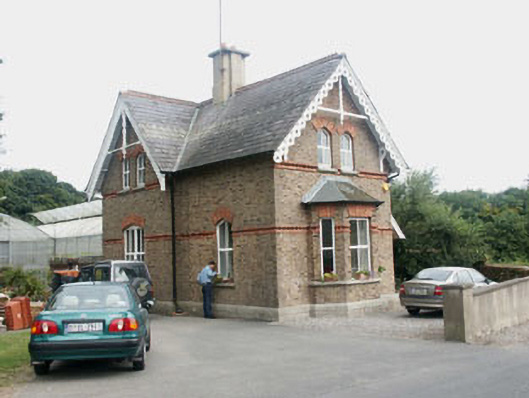 Glencormick Housegate lodge · 247 yd
 European YewEuropean Yew · 311 yd
 Monterey CypressMonterey Cypress · 415 yd
 Saint Mochonog's Catholic Churchchurch/chapel · 483 yd
 Grave YardGraveyard · 498 yd
 Johnny Fox's MemorialMemorial · 663 yd
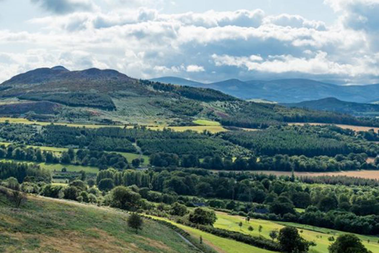 Belmont WayWalking route · 1629 yd
 Little Sugar LoafMountain / peak · 1659 yd
 Cross in Kilbride (rathdown By.)Cross · 1746 yd
 Lover's LeapNamed rock · 1.1 mi
 The Sugar Loaf WayWalking route · 1.2 mi
 Great Sugar LoafMountain · 1.3 mi